|
|
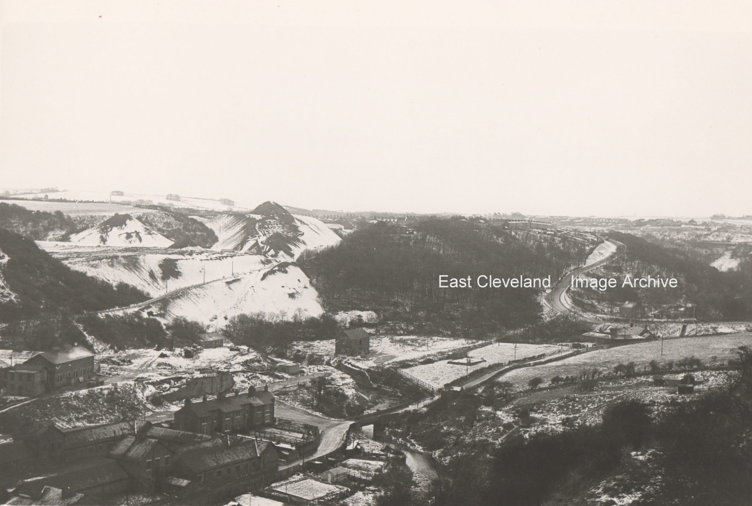
A wintery scene of Mill Bank, viewed probably from Mount Pleasant in Carlin How; as well as the fields of Kilton Mill, pre 1965. I know this as the former police houses were built on the field in front of the lone building which for many years was the JPG works site. It is now a chalet park.
Image courtesy of Ted Morgan (via Eric Johnson, Joan Jemson and the Pem Holliday Collection.
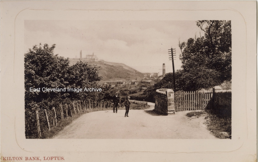
Captioned ”Kilton Bank, Loftus” this image (from a proof copy of a proposed postcard) is more familiarly known as Mill Bank or Loftus Bank. Sadly both wall, gate and onlookers now long gone. In the background the trestle way which carried the ironstone from the mine across the valley bottom can be seen, can anybody assist with a possible date?
Image courtesy of Olive Bennett.
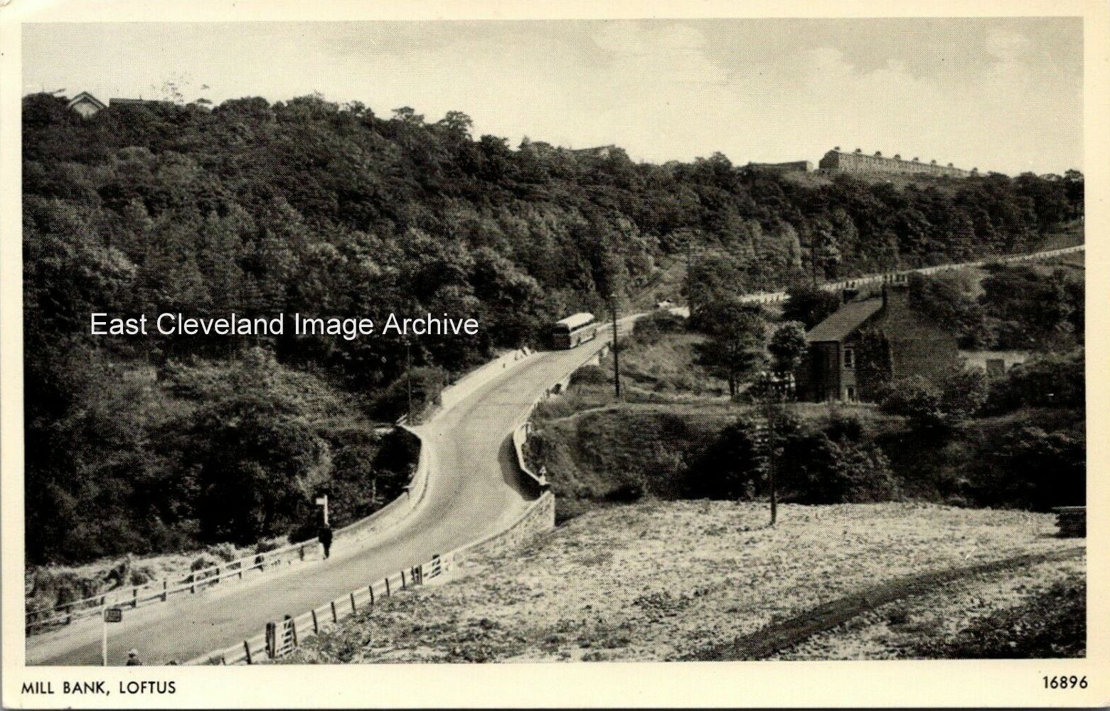
Another sunny day on Loftus Mill Bank. this view from a Salmon Series postcard shows a 1950s United bus on its way towards Loftus. Interesting you can still make out the bridge under the road which carried ironstone, etc., from the Whitecliff mine (to the right in this photograph) down to Skinningrove mine.
Image courtesy of John G. Hannah.
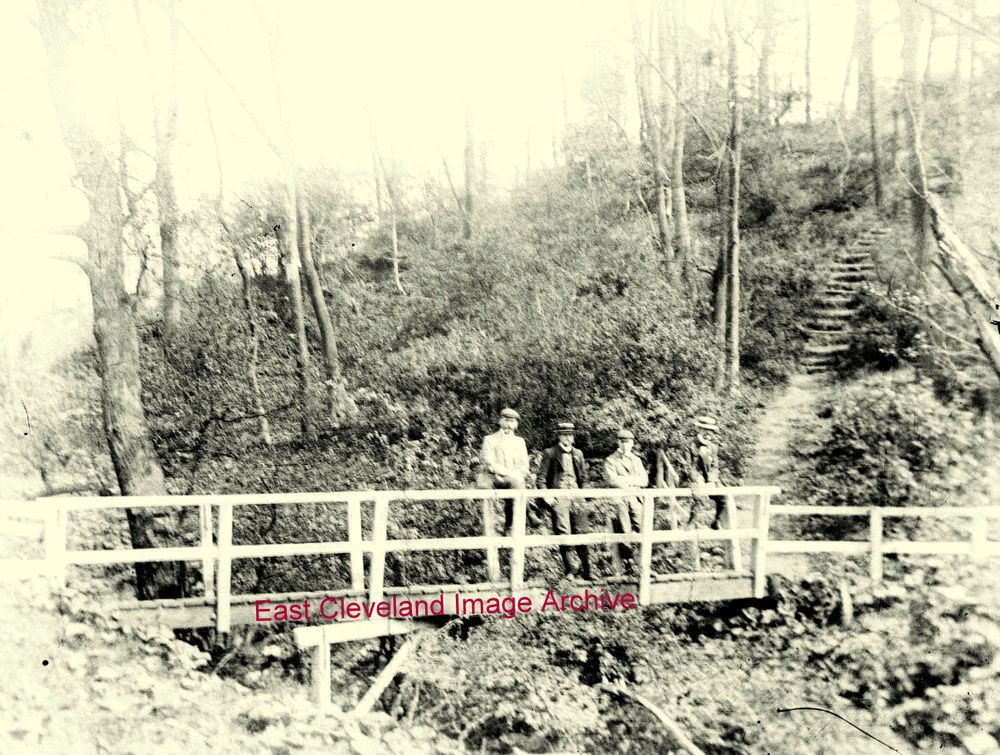
This glass plate image shows four gentlemen take their ease on the footbridge over Whitecliffe Beck on Glover’s Path at the foot of the steps up to Liverton Mines. Now was this before or after the steps have been navigated?
Image courtesy of Geoff Patten.
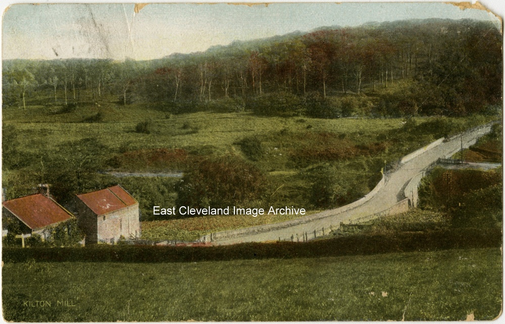
Kilton Mill and Mill Bank long before the road was altered. The image clearly shows the railway line on the eastern side of Kilton Beck which carried the ore from Whitecliffe Mine to the Loftus (Skinningrove) Mine before being transporterd via the bucket system to the Skinningrove Iron works at Carlin How. The postcard published by the R & R Company is postmarked 6th July 1906.
Image courtesy of John G. Hannah.
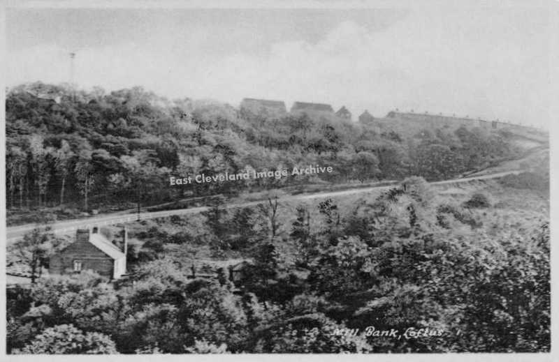
Mill Bank Loftus, above the trees on the left can be seen the tower for the aerial bucket’s system tipping shale from the mine. Whilst to the left in the foreground the end of Whitecliffe Cottages are also visible.
Image courtesy of Maurice Grayson.
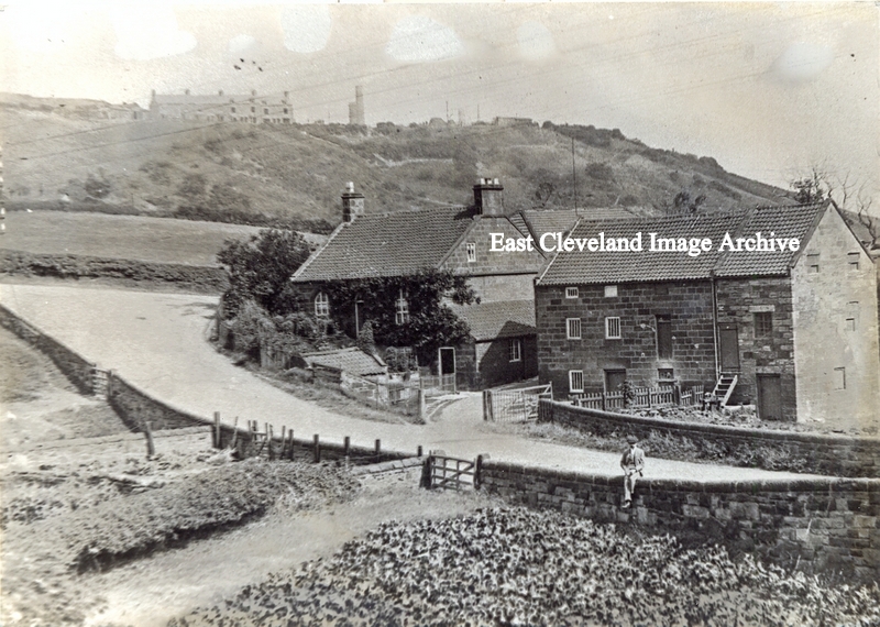
An early 20th century photograph of Kilton Mill. The old road layout at the bottom of Mill Bank is clearly seen, the gentleman sitting on the wall would now be in the middle of the new road; the mill would still be working at this date. Image courtesy of Alan Richardson.
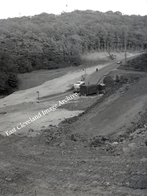
Realigning the road at the bottom of Mill Bank Loftus, around 1958. With Kelly Watsons Bus (Saltburn Motor Services ) in the dip. The bridge was widened at the same time.
Image courtesy of Ken Loughran.
A wintery view of Mill Bank, Loftus under a covering of snow, prior to the road alterations. Obviously the horse and cart were undeterred by the road conditions.
Image courtesy of Mrs Sakaropoulus.
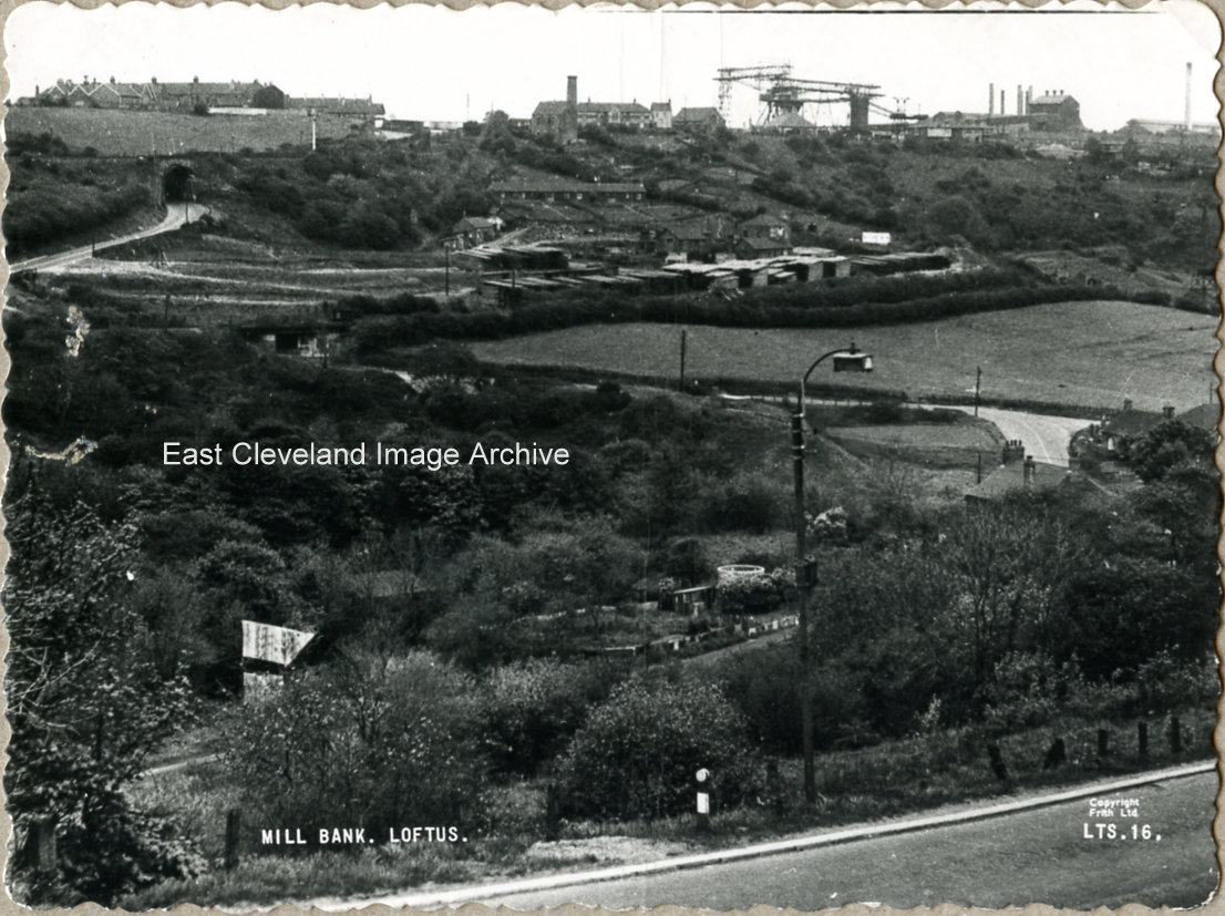
This Frith’s postcard is a view towards Carlin How from Mill bank; we can see the aerial rope way machinery for the buckets of ironstone from the mine to the works. The old North Loftus mine chimney still stands, the head-gear for Carlin How mine (Duck Hole) has disappeared; it closed in 1945. The railway bridge over Carlin How hairpin bend part of the zig zag line down to Skinningrove is still standing (removed in 1958); as is the old road bridge further up the bank.
Image courtesy of Tina Dowey.
|
|


Recent Comments