|
|
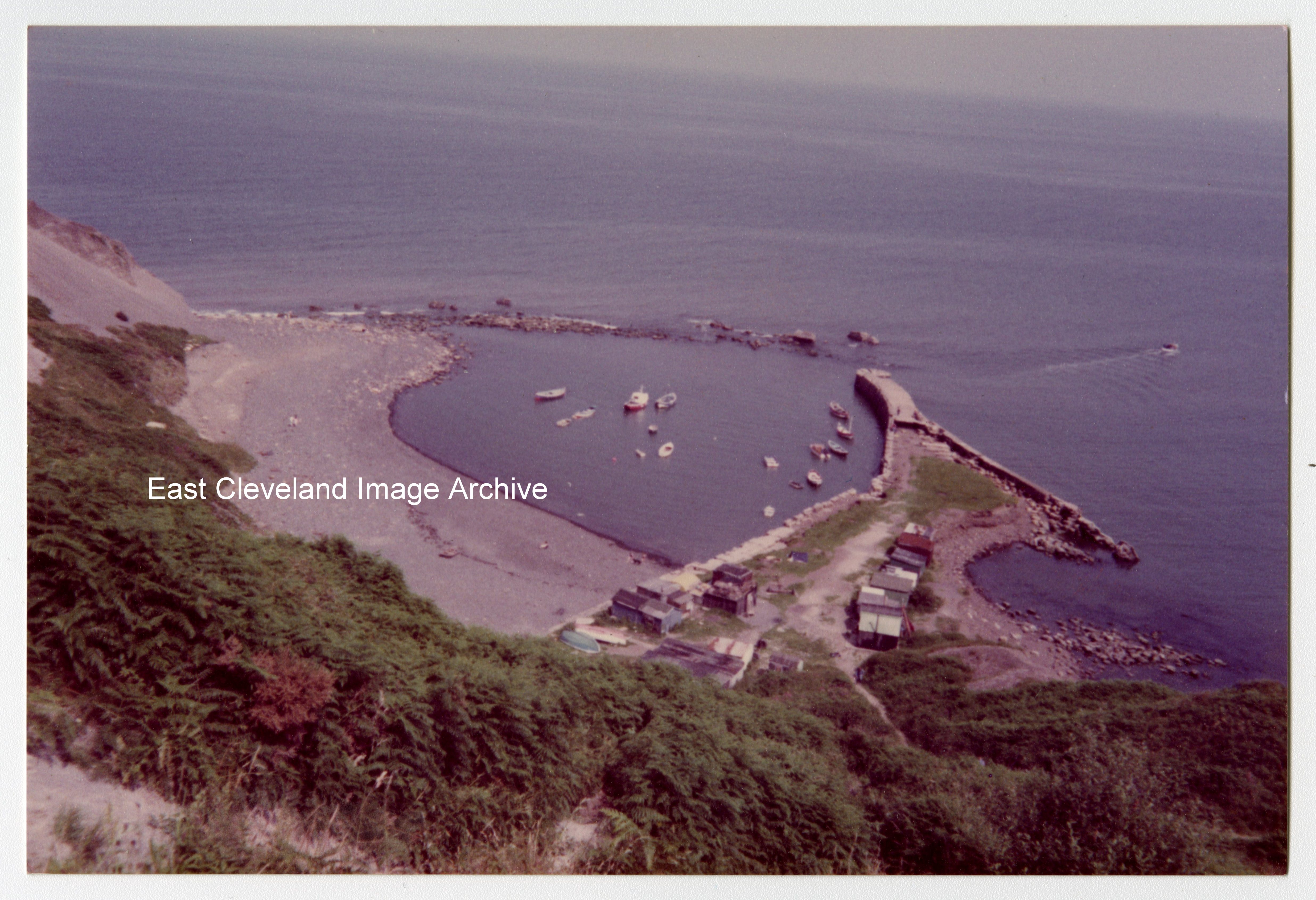
Originally a fishing port, the harbour at Port Mulgrave was used as the only feasible transportation point for iron stone quarried from the Grinkle Mine. In use from the late 1870s till 1917; the machinery on the jetty was being dismantled in 1934 when the wooden gantry accidentally caught fire. The Royal Engineers subsequently destroyed the breakwater on the seaward side to prevent German invasion, even less remains that that shown in this 1982 image.
Image courtesy of The Pem Holliday Collection.
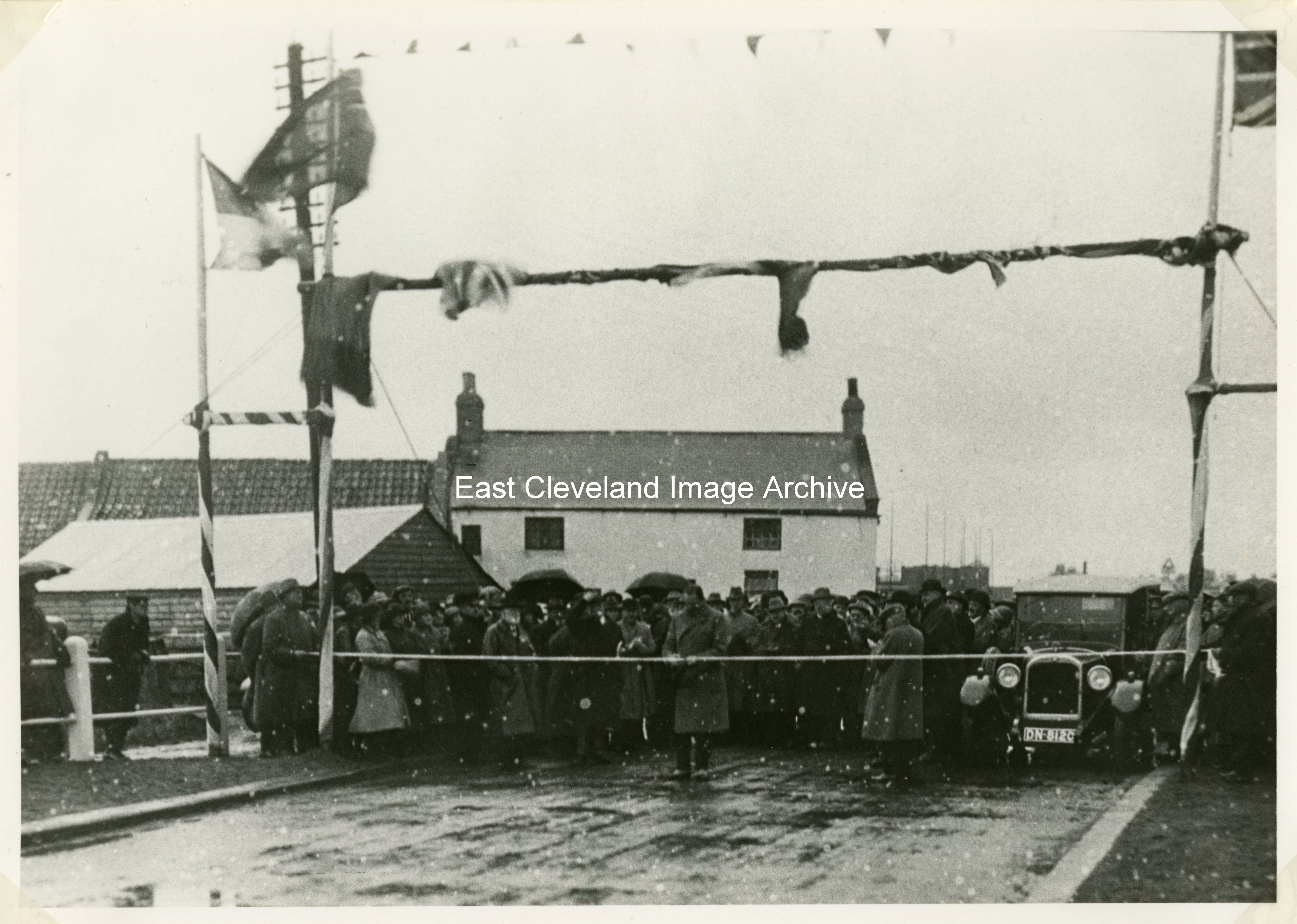
The official opening of the Whitby to Sandsend road on 7th November 1925, this image is from an original taken by Tom Watson of Lythe. He had been commissioned to record the week by week progress of this activity.
Image courtesy of the Pem Holliday Collection.
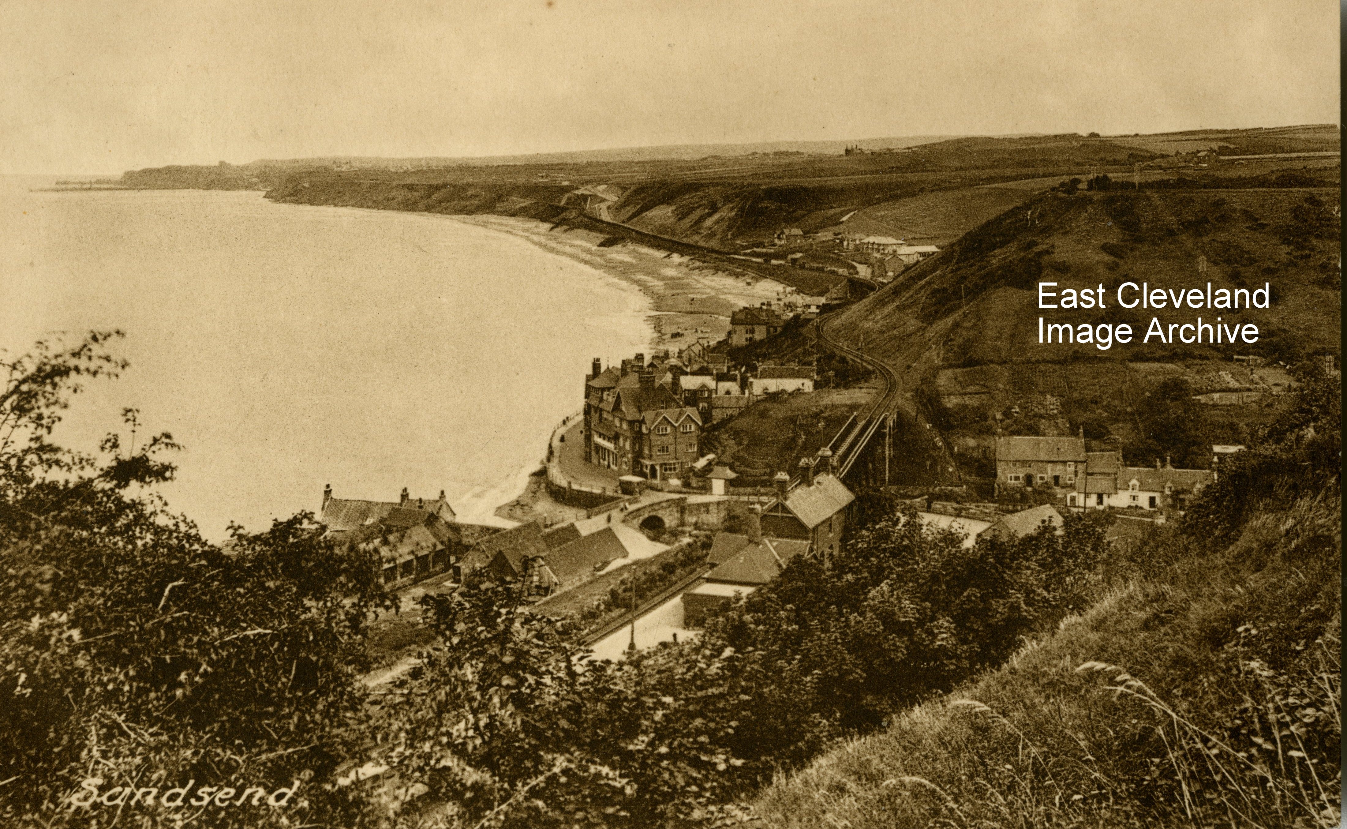
This Frith’s postcard view of Sandsend, promoting Wilcock’s Stores Ltd, Sandsend; gives an excellent view of the Sandsend viaduct as it crosses the valley towards the station, as well as a view of the Alum House area at the bottom of the notorious Lythe bank.
Image courtesy of John G. Hannah.
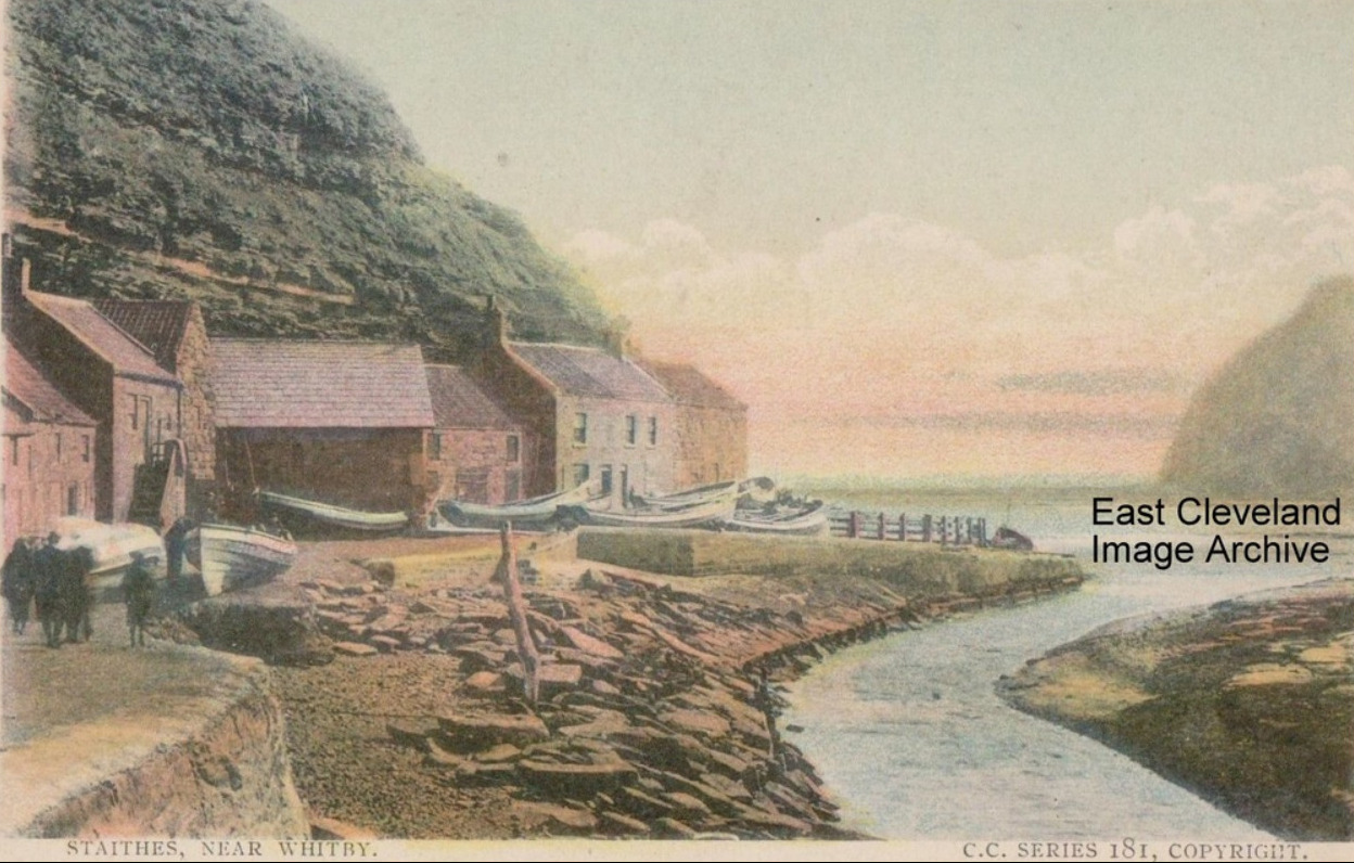
Dating from 1908, this CC series postcard is hand tinted and is still a very beautiful view of the side of Cowbar Nab and the stream through the lower area of Staithes.
Image courtesy of John G. Hannah.
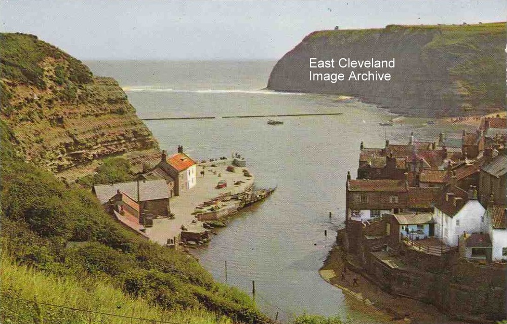
A modern view of Staithes dating from the 1960’s and produced by Friths. Still a delightful view of Staithes harbour at full tide and so a more unusual view. Christine Marshall comments: “My grandma lived up on Cowbar. Two rows of cottages at the top of Cowbar Bank. I came to Staithes ever summer with my mum from Edinburgh until grandma did in 1972. Have been back twice since then and it really hasn’t changed that much. Wonderful memories.”
Image courtesy of John G. Hannah, thanks to Christine Marshall for the memories.
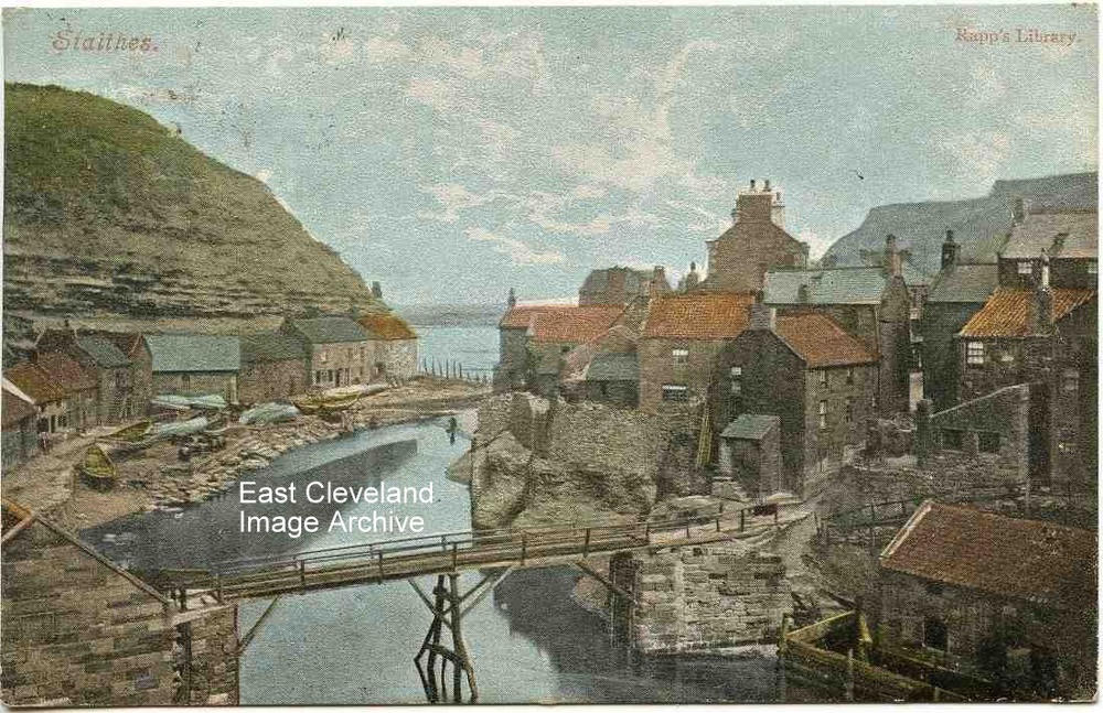
A Rapp’s Library Postcard view of Staithes; Rapp’s was a stationers and printers of Saltburn. The card dates from the late 1890’s showing the bridge from Staithes to Cowbar, this scene features in many images of Staithes.
Image courtesy of John G. Hannah.
The storm of 1906 with the Cod and Lobster corner taking a bit of a wave!
Image courtesy of John G. Hannah.
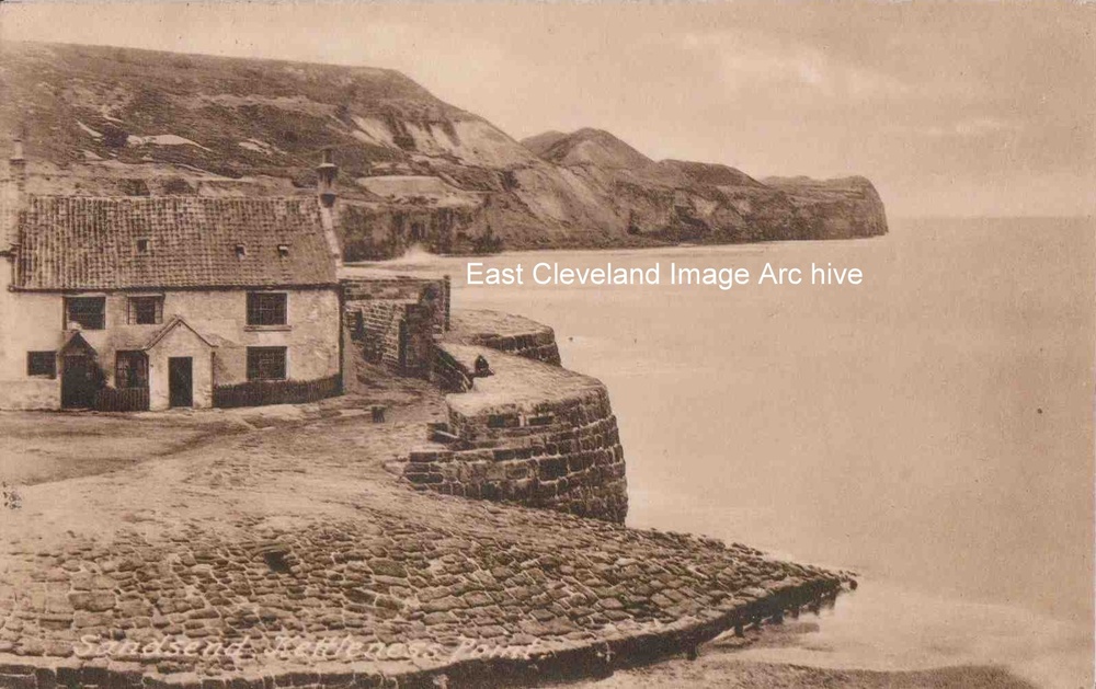
The title on the card is actually incorrect! Maps of the area define this headland as Sandsend Ness. Kettleness is actually some two mile further up the coast and not visible from Sandsend. It is still an excellent postcard view of the original Alum House which is now the area of the car park at the bottom of Lythe bank. The postcard, produced by Friths is postmarked from 1932.
Image courtesy of John G. Hannah.
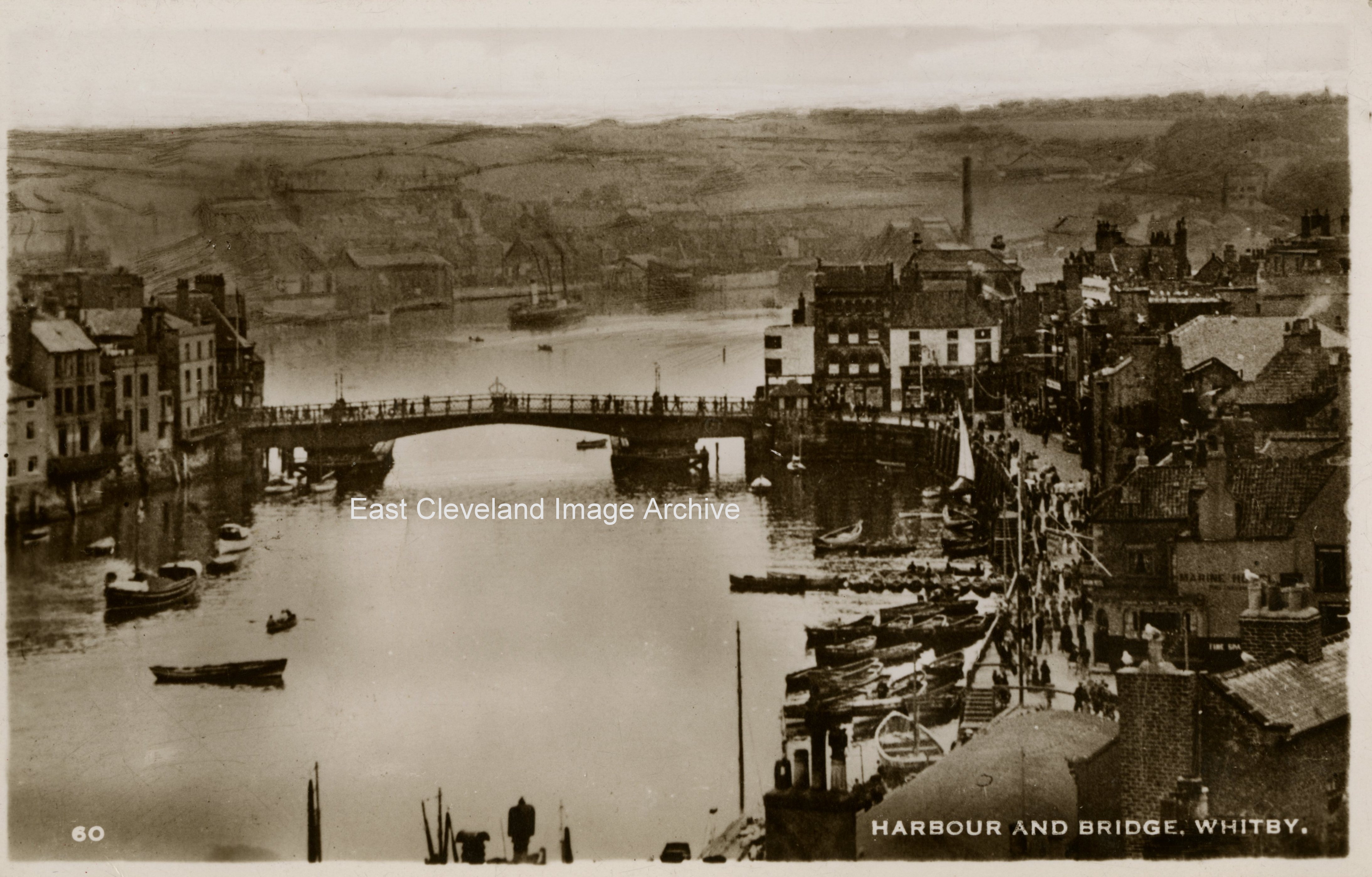
This Excel Series postcard view is post 1909 as it shows the more ‘modern’ swing bridge, which replaced the draw bridge at that time.
Image courtesy of John G. Hannah
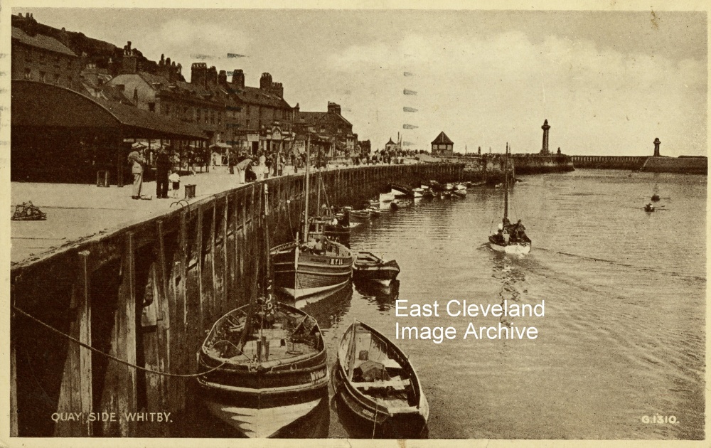
This Valentine’s postcard view of the fish quay and harbour side at Whitby although post marked 1947 is believed to be an earlier production, David Richardson advises: “A Valentines postcard, no G.1310 was released in 1934.”
Image courtesy of John G. Hannah and thanks to David Richardson for that update.
Page 3 of 34«12345...102030...»Last »
|
|


Recent Comments