|
|
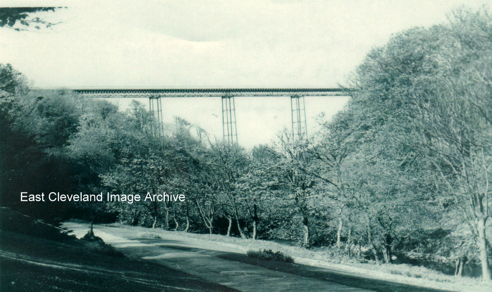
A great view of the Halfpenny Bridge what a beautiful structure it was such a pity it wasn’t maintained so more people could have marvelled at it today. Callum Duff tells us: ”The Saltburn Bridge (to give the bridge its proper name) was originally built for two reasons; to ease the journey of carriage traffic from Saltburn to Skelton (or Brotton by a more circuitous route) and to link a second stage of housing development at Saltburn. The Skelton & Gilling Estates planned to release plots of land on the east side of Saltburn Lane on a site provisionally known as Bank Top. This building opportunity was never seized upon, I imagine as the Saltburn Improvement Company encouraged developers to buy land near Saltburn and its other facilities or possibly economic reasons stifled further expansion. In any case after the popularity of cars replaced horse and cart traffic (the bridge could have handled cars but only one at a time), the Saltburn Bridge became redundant.”
Image courtesy of Geoff Hore; thanks to Callum Duff for the update.
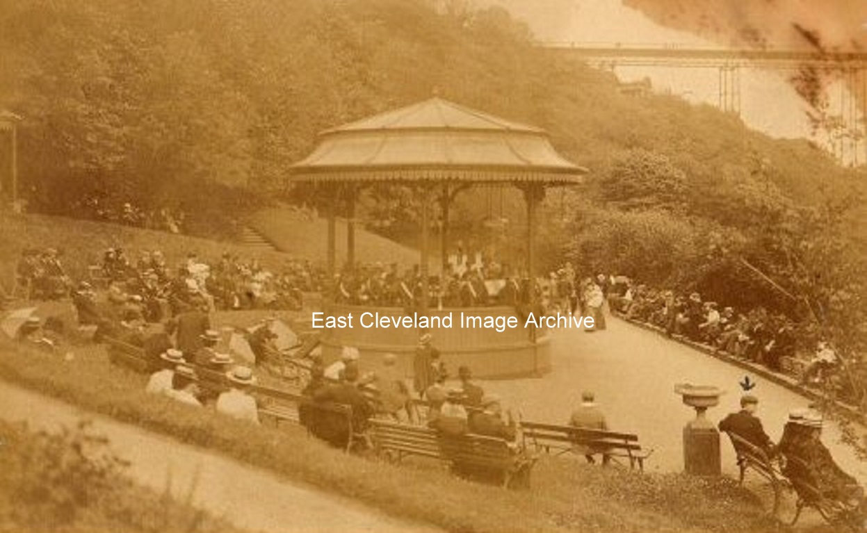
Plenty of people listening to the band at Saltburn, the Half Penny bridge can just be seen in the background.
Image courtesy of Mike Holliday and others.
If you look carefully into the distance the magnificent Half-penny Bridge can be seen, sadly no longer there any more, badly maintained in more modern times it was deemed expedient to demolish it rather than repair it.
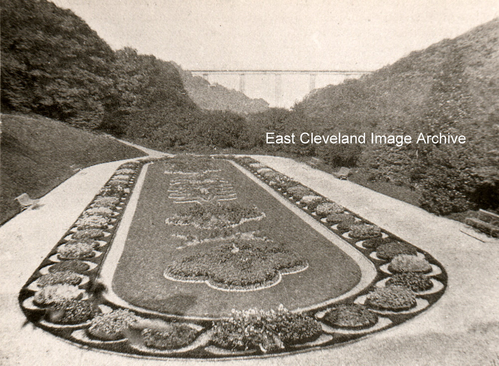
This magnificent display was still replenished every year, until recently – although the floral masterpiece has changed design over the years. The gardeners no longer raise the plants themselves on site however – they and their greenhouses and potting sheds are long gone. The gardening staff are provided by Redcar and Cleveland Parks and Gardens and are just as skilled at providing the wonderful displays.
I called this ’The Italian Gardens’; but I had a feeling that this part of the gardens had another name. Callum Duff has come to our aid: ”This postcard does definitely show The Italian Gardens! the rest of the valley has been called a number of different names including The Pleasure Grounds, Saltburn Glen and The Valley Gardens.” Rob Carter adds: “I’ve bought a small album of Saltburn-by-the-sea photographs (Victorian) and there’s a photograph entitled ‘in the gardens’ showing the bandstand and also another entitled ‘the Italian Flower Gardens’. Other photographs include the gardens from the (Halfpenny) Bridge, Oak Walk in the gardens, the old Convalescent Home, the Cliff Tramway, On the Sands (with Bathing Machines)!”
Many thanks to Callum Duff and Rob Carter for the updates.
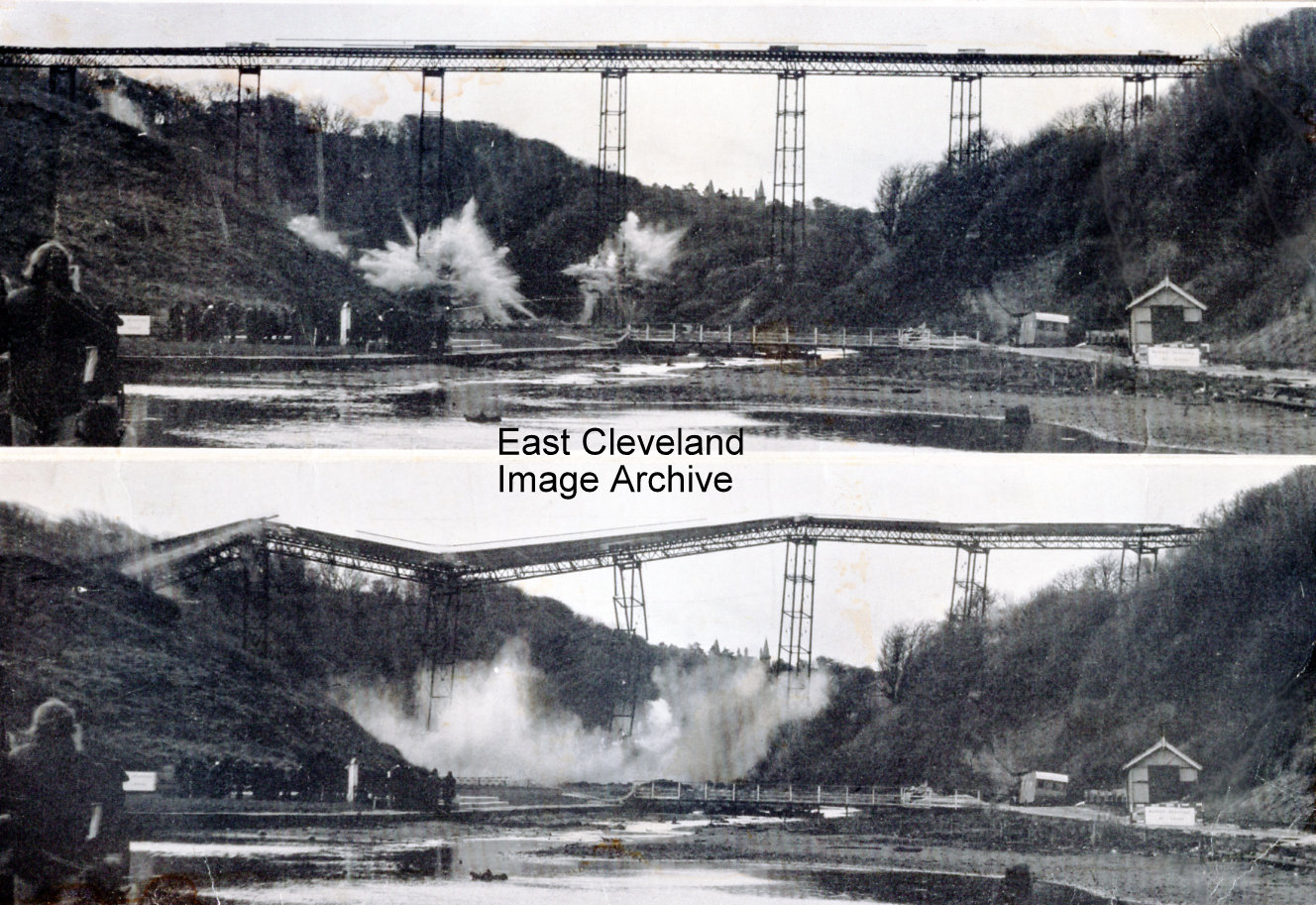
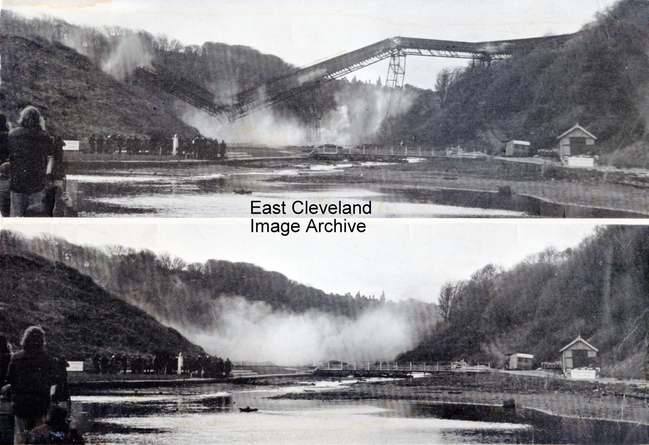
Do you remember the Half Penny Bridge? Beautiful views as you walked across it but sadly it had to go, there follows another two photographs showing the bridge as it goes into the beck; during demolition on 17th December 1974. The cost of building the bridge (by Gilkes Wilson of Middlesbrough) was around £7,000 and sadly three men lost their lives whilst working on it. Eric Johnson comments: “Shades of the Tay bridge collapse, also built by Gilkes Wilson of Middlesbrough, another link with the Tay bridge was James Brunlees (later knighted) designer of Kilton viaduct, asked to design the replacement bridge his plan was rejected because he wanted to reuse salvaged parts of the old bridge. In the event the contractors did use parts of the old Tay bridge, to save time and money. the old piers can still be seen in the Firth of Tay.
Image courtesy of Howard Wilson, thanks also to Eric Johnson for the update.
The second pair of photographs taken on 17th December 1974; and the bridge falls into the beck. The cost of £50,000 to demolish the bridge was far greater than the cost of building it.
Image courtesy of Howard Wilson.
This photograph; taken from the Glenside side of the valley across to the Lodge keepers cottage, shows all that remains after the Half Penny Bridge was blown up a lovely landmark gone but not forgotten. A small section was preserved an used to create the river footbridge in the valley below.
Image courtesy of the Pem Holliday Collection.
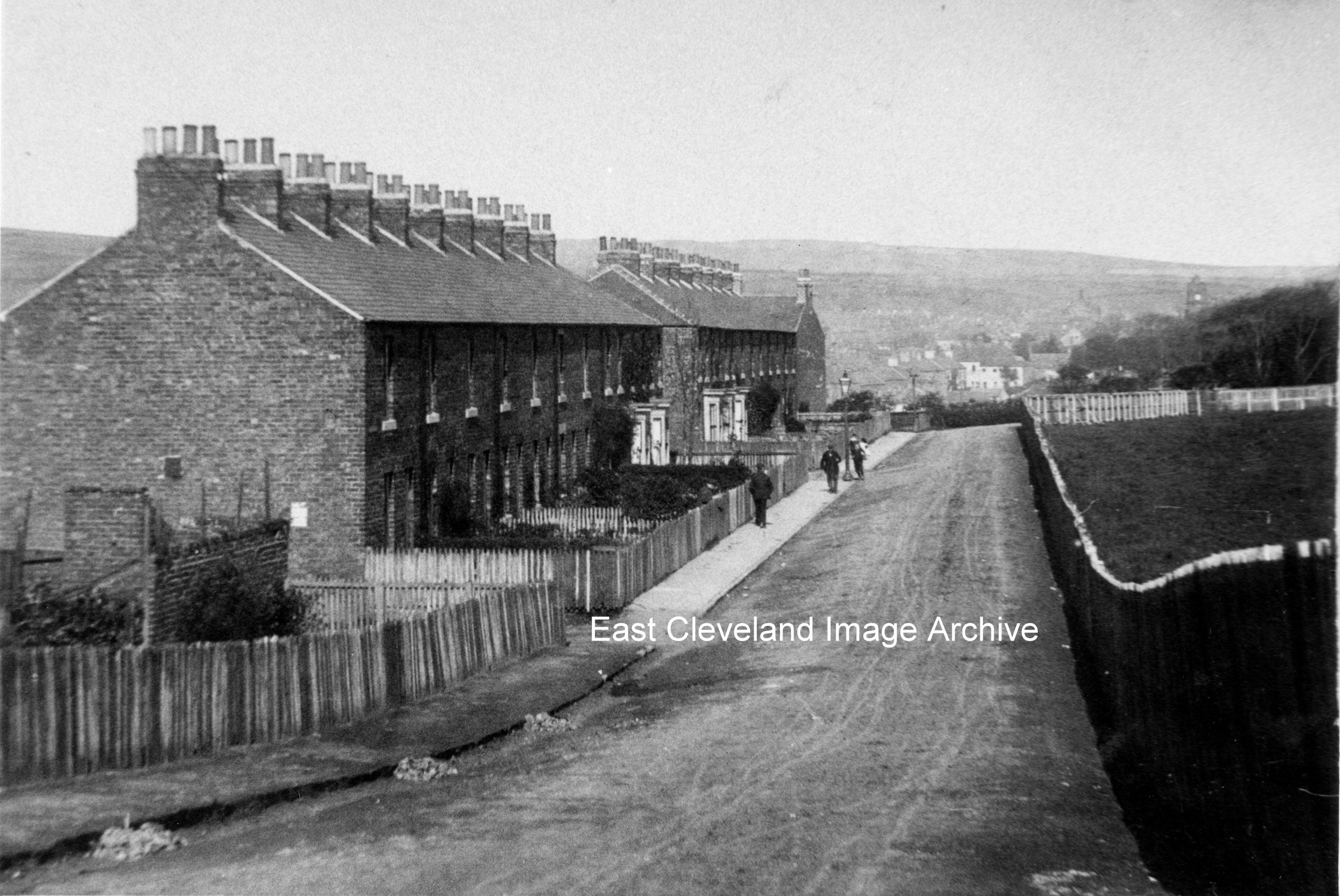
But not as we know it today, no council houses (so dating to pre World War II); although they have swept quite a lot of rubbish up to be collected.
Image courtesy of Cleveland Ironstone Mining Museum.
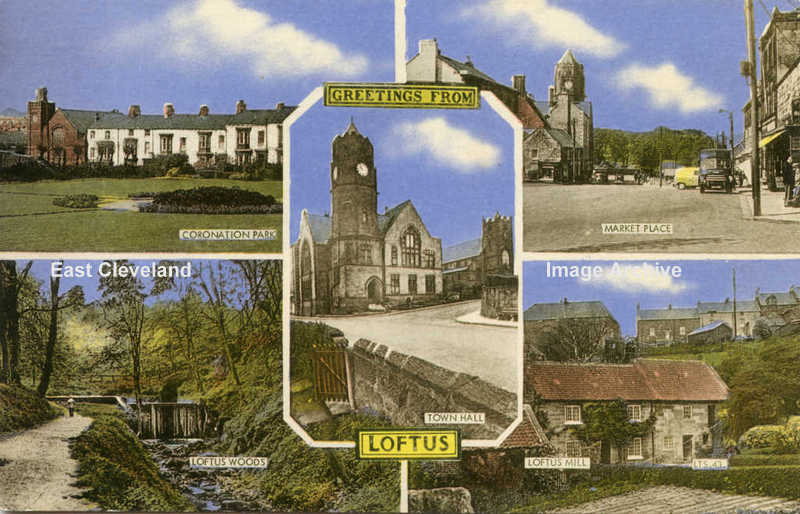
Another of Frith’s tinted postcards of Loftus with more attractive views of the town.
Image courtesy of Maureen Hogan.
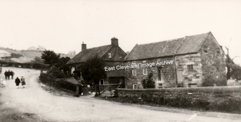
This is Kilton Mill, before the ”new” Mill Bank was created. Kilton Mill at the bottom of Mill Bank, used Kilton Beck water, which was diverted from Kilton Beck at the ‘Long Dump’, just downstream from the Culvert. It’s name came from the fact that this was the most accessible point from Kilton (and the castle) for a watermill to be built.
Thanks to Tony and Norman Patton for updates.
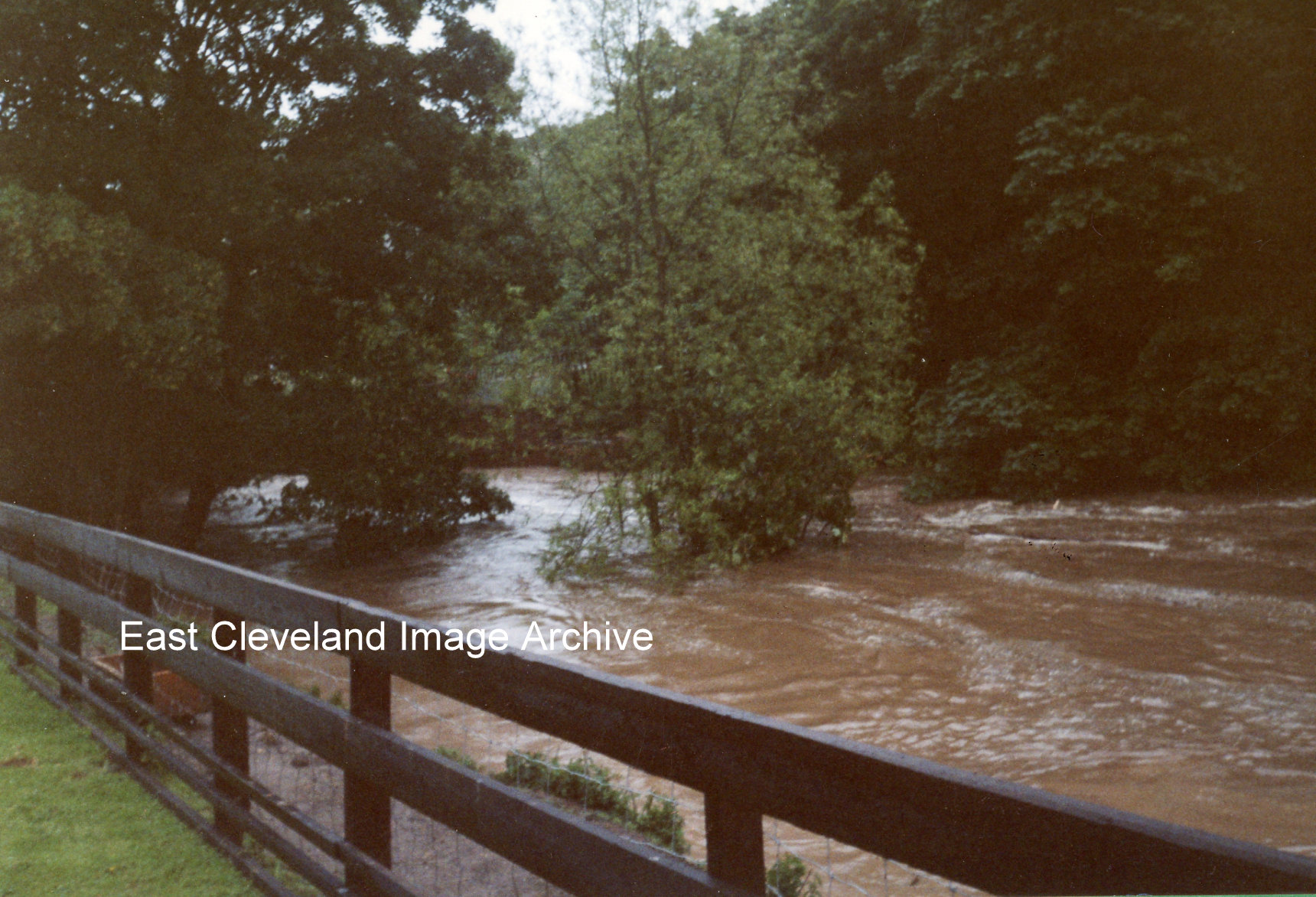
Torrential rain fell in the area on the morning of the 2nd July, 2000, half the month’s usual rain in just six hours. The cloudburst caused flash floods and the water swept down the valleys into Kilton Beck, carrying fallen trees and branches along with it. The photograph shows the old bridge, between the trees, just below Kilton Mill. The logs and debris jammed against the bridge and blocked the beck.
This sequence of images of the flooding in July 2000 was submitted by Kathleen Hicks; she took all the photographs and suppled the commentary.
Image and information courtesy of Kathleen Hicks.
|
|


Recent Comments