|
|
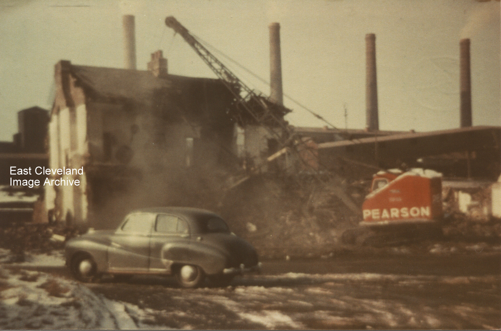
Another row of cottages falls in Carlin How, they were very near to the works. Rather a dangerous place to leave a car, don’t you think?
Fred Miller tells : “I was born at number one Front Street on 21st December 1937; later moved to 26 Westray Street. I have fond memories of ‘The Bottom End ‘Bonfire on the top common, playing in Hally Ballies. I still visit every year mostly to visit my old friend Peter Libby”.
Thanks to Fred Miller for that memory.
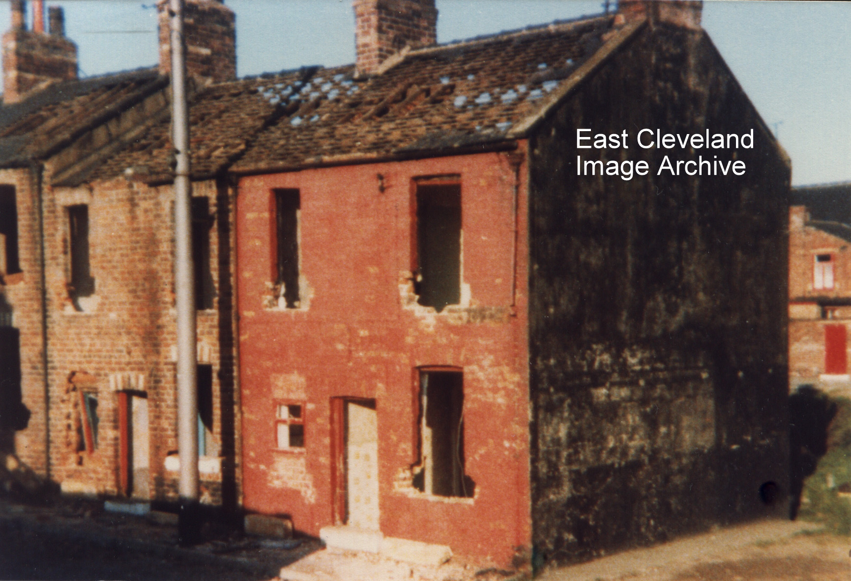
Hands up all those who remember Wood Street at Carlin How and for those who don’t, well it stood where the car park for the Working Men’s Club is now. This photograph shows the demolition of Mr Walter Womack’s and Mr Walter ‘Wally – Taxi’ Goldby’s houses. Alan Pearson tells us: ”I was born at 16 Wood Street and was always led to believe that it was the oldest street in Carlin How. From looking at census records; Wood Street, Dixon Street, Steavenson Street, Wesley Terrace, Railway Terrace and Bells Huts all appeared between 1871 and 1881. Nos 1-26 LIC (Lofthouse Iron Company) in 1881 became Long Row in 1891 and Wood Street in 1901. ‘Woodhouses’ in the 1881 Census became Wood Cottages, then Bells Huts in 1891 Census. 1-5 Carlin How Road became 1-5 Reading Room, then Wesley Terrace. However, in 1871 there were 2 houses listed as Carlin How Lodge (where were these?) and 36 un-named, unnumbered cottages. It seems likely that these were part of 1-56 Carlin How in 188; which became in 1901 Maynard Street, Front Street and The Square – so was one of these the oldest street in Carlin How?”. Derick Pearson also tells us: “I took this photograph, our family owned two houses in Wood Street at that time; number 21 and the one my sister lived at no 7. I lived there with my children up till around 1975. This photograph was taken some time after that; Taffy Williams from Lingdale was one of the demolition merchants and this was the start of the demolition”.
Lynn O’Neill commented: “I was born at 22 Wood Street in 1946. We moved to Loftus in 1948. I have not been back to this area for a long time.” Joy Merrett replied: “My great-grandparents, Robert and Lucy Glover lived here. He died in 1942 so perhaps your parents bought it from my family. I’d be interested to hear from you, especially if you have old pictures!”
Image courtesy of Derick Pearson; from a collection compiled by Derick Pearson (also information regarding the two houses shown), thanks to Alan Pearson, Derek Dobson, Derick Pearson, Lynn O’Neill and Joy Merrett for the updates.
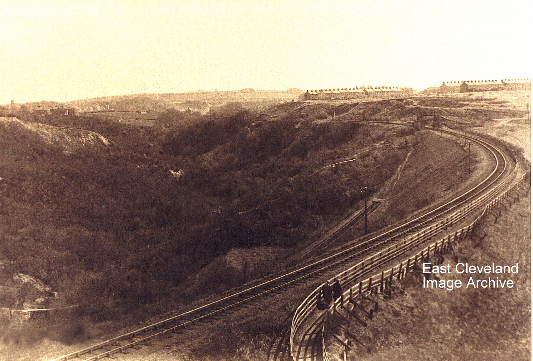
This is an image I haven’t seen before; Kilton Viaduct in its ”embanked” state. It completely alters the aspect of the valley – not for the better either unfortunately.
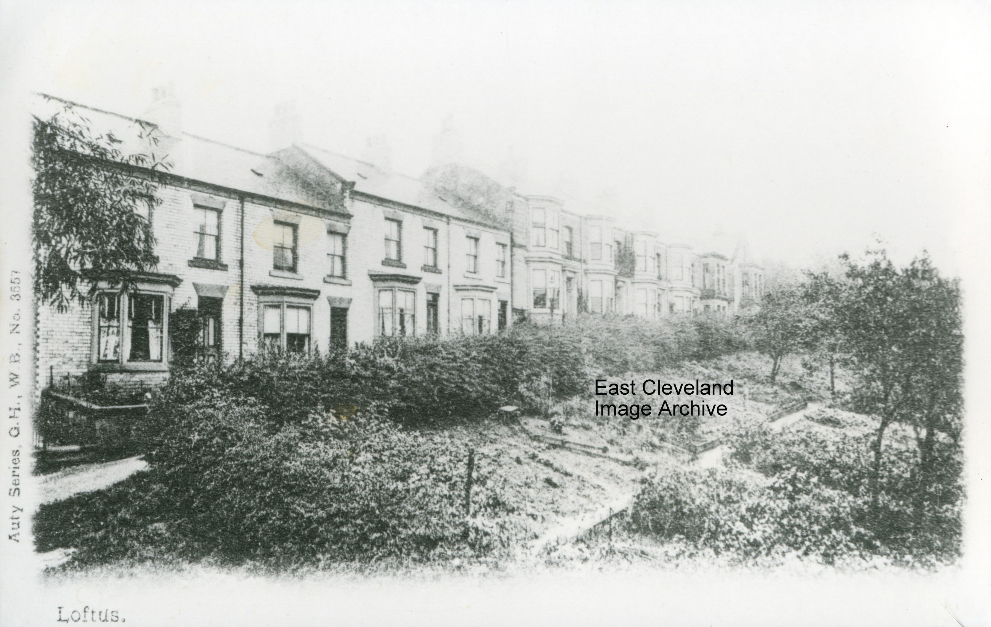
Springhead Terrace viewed from an elevated position; possibly from the property for many years occupied by the Gallilee family. Derick Pearson added: “Although the elevated viewpoint would indicate it was taken from the rear upstairs room of a house on Arlington Street. There was a photographers studio on Arlington Street for many years from the early 1900s until the 1980s”. Eric Johnson told us: “The top house on Springhead Terrace was known as the “Belgian’s house.” George Cuthbert told the Archive: ”The reason for the title ’Belgian’s house’ came from the occupation of the house during World War I by a group of Belgian refugees. At the end of World War I all but a 16-year-old girl returned to Belgium. The young lady later married the post master at Runswick Bay.”
Thanks to Eric Johnson, Derick Pearson and George Cuthbert for the updates.
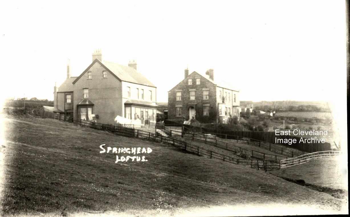
An earlier view of the houses on Micklow Lane; viewed up Springhead, Loftus. It is possibly a postcard view by T. C. Booth. Richard Watson told the Archive: “The houses in the foreground look like my mothers and the Gale’s on Micklow Lane. The side view shows a single lower ground bay window — a second floor bay was added before we moved – in about 1961. The next block up was owned by Fred Hutchinson when I was young and the Colbecks lived in the one above that”. Christopher Colbeck added: “The house in the foreground was lived in by the Watson’s and adjoining them in the 1950′ – 1960’s were the Fisher’s though before Fishers occupied it, the order of Nuns were living there (before they moved to the Convent on the main through road in Loftus). The next block: the first is ‘Springfield’ and was Fred Hutchinson’s and his two sisters who used to make funeral wreaths. Adjoining that was ‘Springrise’ later to become number 37 Micklow Lane; home to Archibald and Annie Tose. We moved there in the summer of 1958. My father Edgar Colbeck was a monumental sculptor who became the proprietor of Arrowsmiths monumental business on Zetland Road”.
Many thanks to Richard Watson and Christopher Colbeck for the updates.
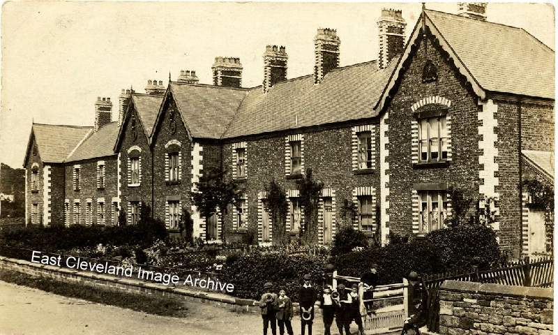
A part of Guisborough not seen by many visitors but still an attractive row of cottages; originally occupied by workers on the Guisborough estate. Today the road serves as a route to Guisborough Rugby Club and the Eglinton Avenue area of the town; a much busier lane than that featured in this postcard view.
Image from a collection compiled by Derick Pearson.
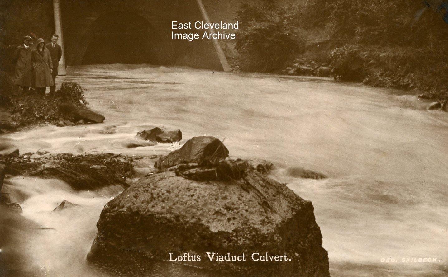
A peaceful image of the water as it flows under the viaduct and on to the sea at Skinningrove.Norman Patton commented: “In my lifetime, I cannot remember floods at Skinningrove in the days when the beck had this much water flowing. ie. prior to the construction of Scaling dam. Have I got this wrong?” Derick Pearson advised: “This photograph here however has the same three persons on it as another photograph (next image on the Archive), which was taken the same day about an hour later”. Despite the comments to the image, the Archive is aware that the beck at Skinningrove is not affected by any possible outflow from Scaling Dam, as this emerges at Staithes; the overflow from Lockwood Beck flows via Kilton Beck. The image is taken from a George Skilbeck postcard and dates from the 1940’s.
Many thanks to Kathleen Hicks for the Lockwood Beck information, also thanks to Derick Pearson and Norman Patton for their memories of the beck flooding.
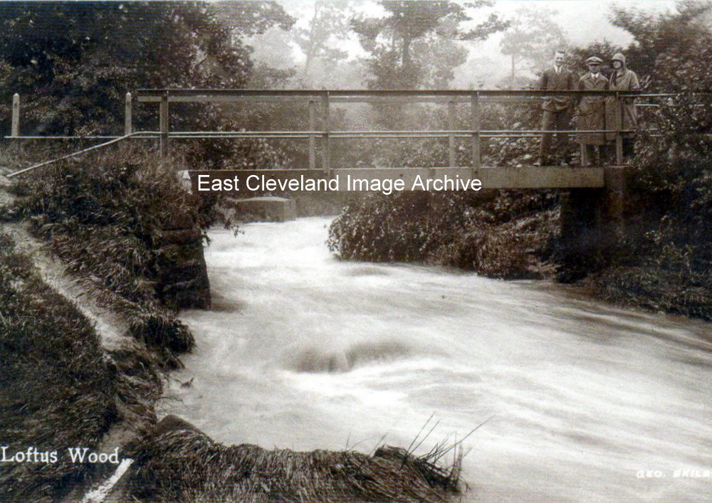
Another view (but facing the opposite way!) of the same flood conditions, dating from the 1940’s; from a postcard by George Skilbeck.
Image courtesy of Derick Pearson and information regarding figures in the image.
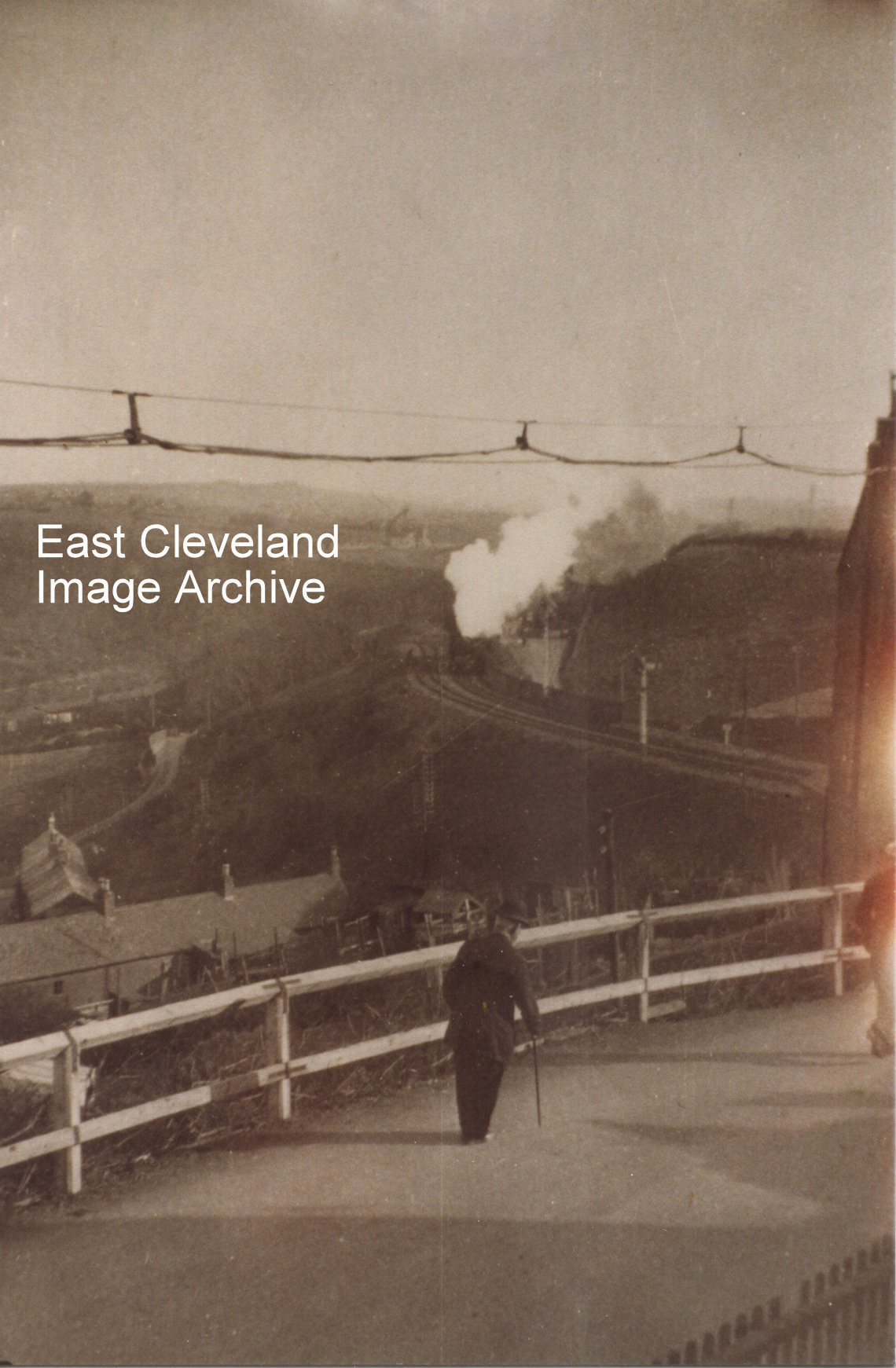
This is a view from Mount Pleasant Road/Wesley Terrace in Carlin How, looking up the valley. The building to the right is the gable end of the Zion Chapel now disused and standing at the head of the footpath to the Skinningrove Valley. Simon Chapman tells us: “The first leg of the ’Zig-Zag’ can just be seen running down into the valley next to the protection signal, making it look like a double track. I would guess the date as about 1925. The kilns at Liverton Mines have been dismantled and a solitary headgear awaits demolition”.
Thank to Simon Chapman for dating and the update.
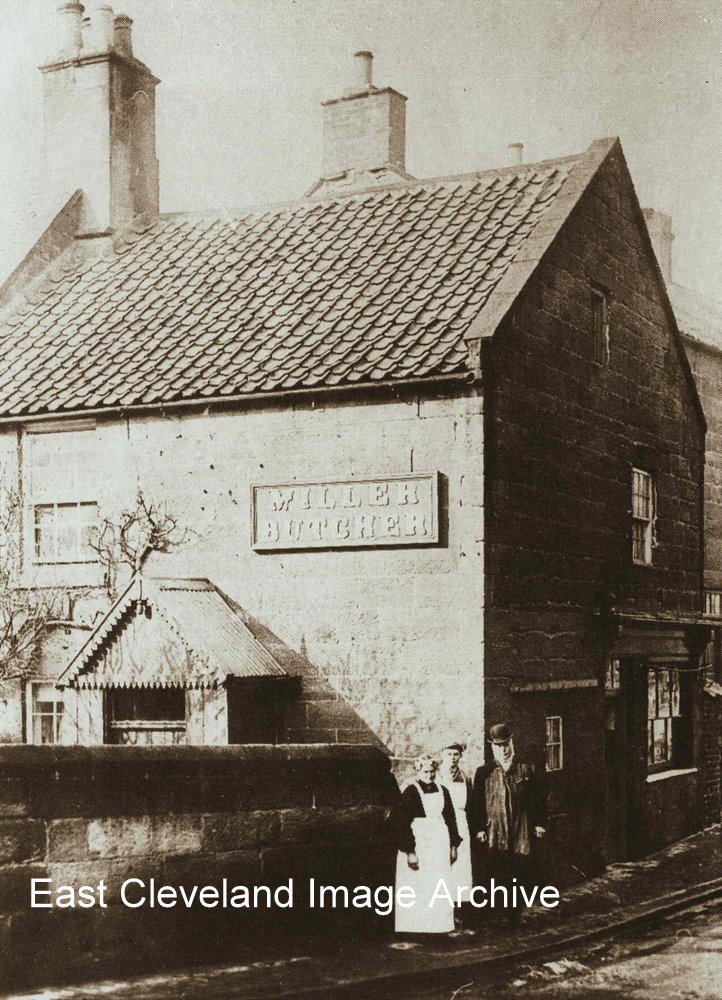
Hasn’t changed much has it? Only the name of the butchers has changed a few times over the years.
Image from a collection compiled by Derick Pearson.
|
|


Recent Comments