|
|
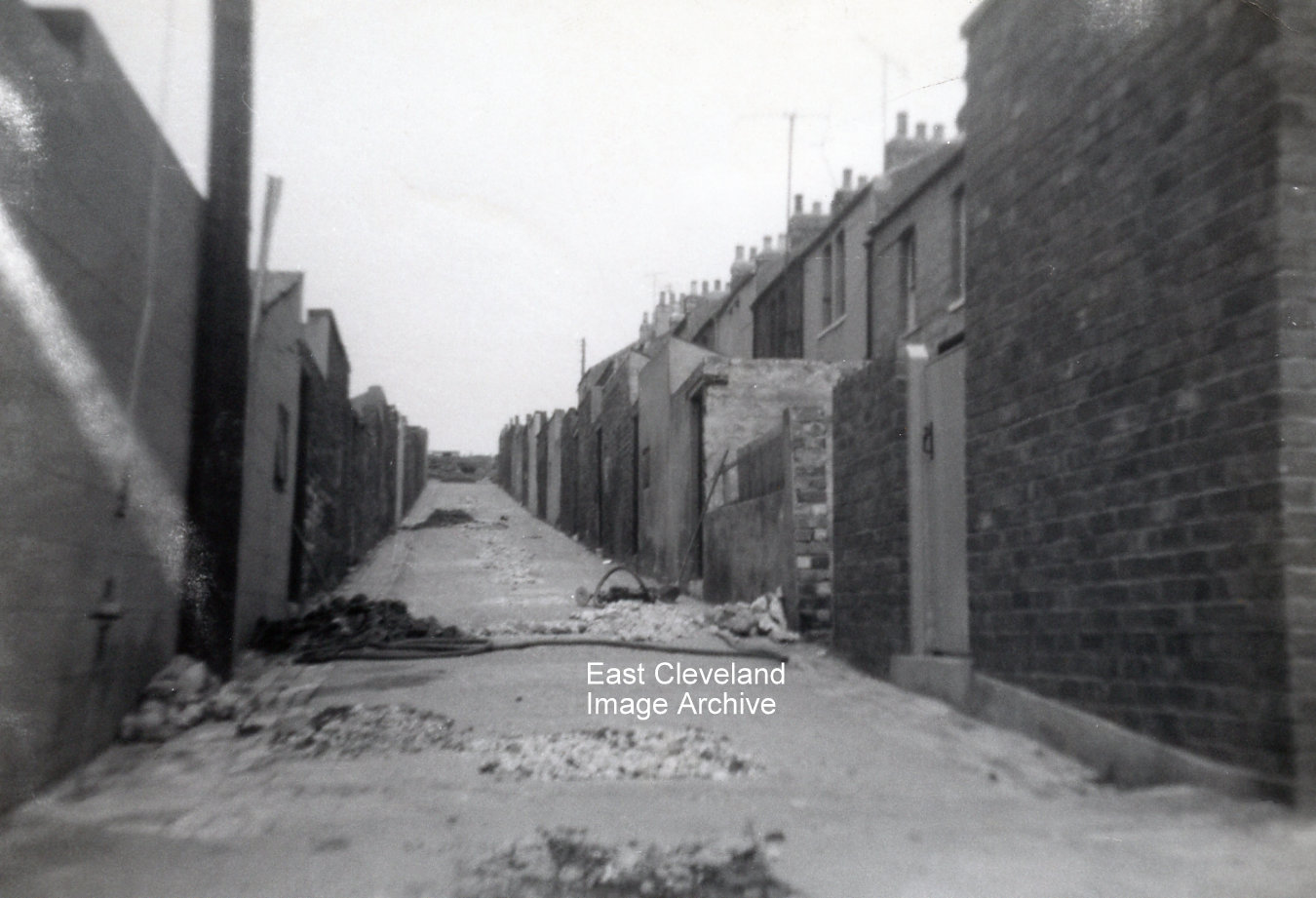
Eric Johnson took this set of photographs recording the damage caused to houses in Gladstone and East Streets by the collapse of mine workings c.1962. This is the view looking up the backs with Gladstone Street on the left and East Street on the right. The gas and water mains were broken in several places and the road had to be dug up.
Image and information courtesy of Eric Johnson.

Damage to the walls of numbers 4 and 5 East Street caused by the subsidence is clearly visible!
Image and information courtesy of Eric Johnson.
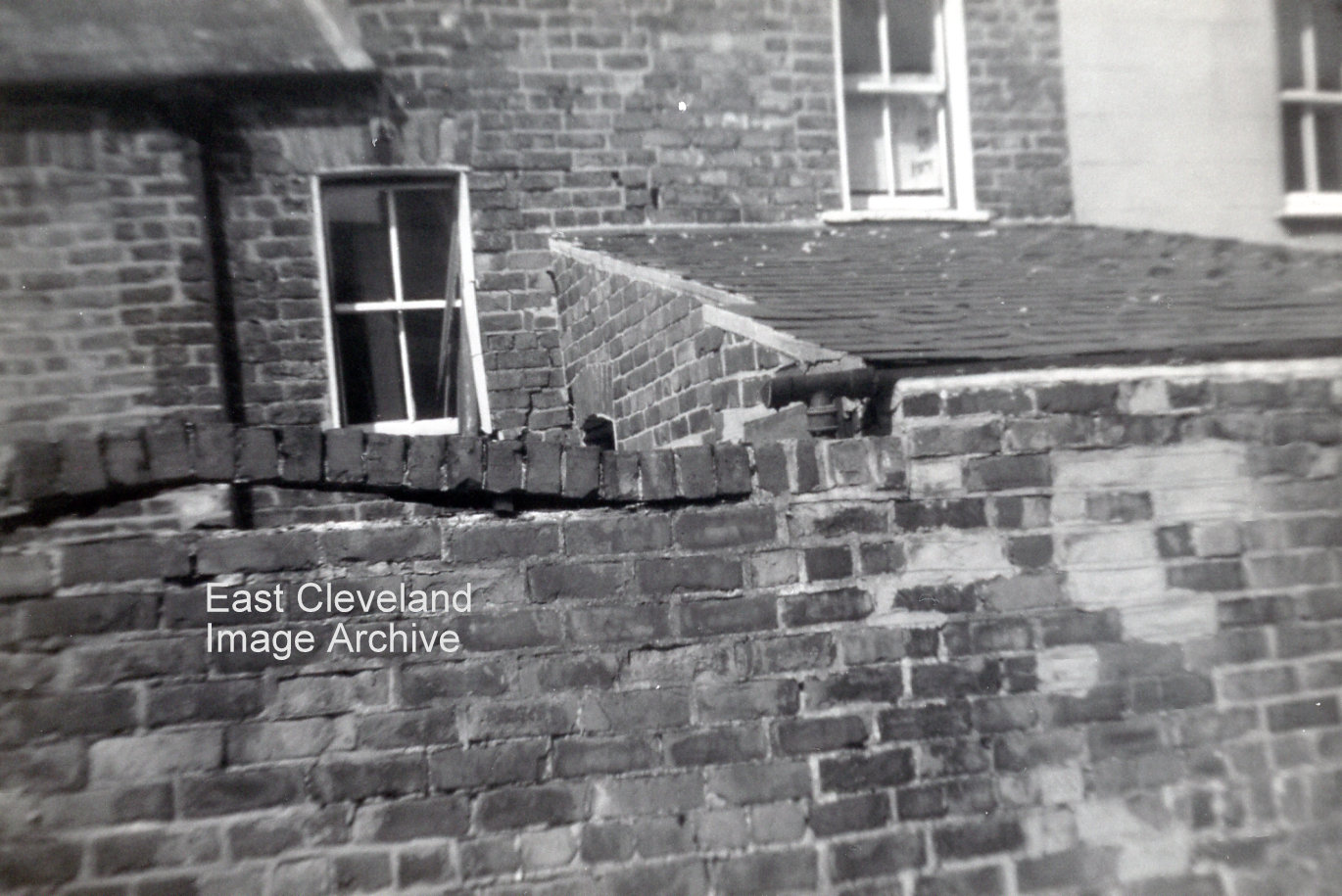
Houses at the bottom of Gladstone Street were also affected. Cracks appeared in the walls and the bricks on top of this yard wall lifted. When they were repaired three houses were knocked into two.
Image and information courtesy of Eric Johnson.
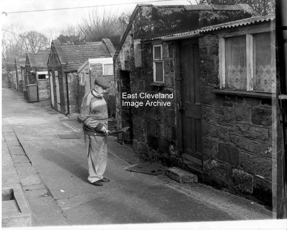
Mr Jim Fishlock approaching the coal house and former outdoor toilets at South Loftus ; in the days before flush toilets, ash pans were used and emptied each week by a council dustbin lorry. Dustbin men in those days were colloquially known as ‘night soil men’!
Thanks to Paul Brown for the update.
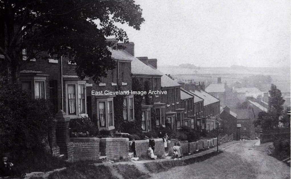
Next one is Loftus Seymour Hill. we are baffled a little with this one, as the building in the center right which would be to the right of the Market place seems unfinished on the right hand Gable end. The angle of the shot is a little confusing but it must be looking at the Church area as the spire is visible. Seymour Hill is well established with trees growing and well established gardens. Paths from the gardens to road are well-worn and it is an old gravel road. The bay windows of the houses of Robinson Terrace are just visible on right. Come on you historians, fill in the rest.
Adam Cuthbert suggests “The building could be the former NatWest (previously National Provincial) Bank or the Golden Lion.”
Image courtesy of the Pem Holliday Collection, Derick Pearson and Joyce Dobson, also thanks to Adam Cuthbert for the update.

A fine archival quality sepia of North Terrace, taken from the Loftus end of the road. Carefully posed, but notice the two “observers” in the garden of the first house with the bay window, also unless I am mistaken the gate on the left of the picture is still there!
Image courtesy of the Pem Holliday Collection, Olive Bennett and Joyce Dobson.
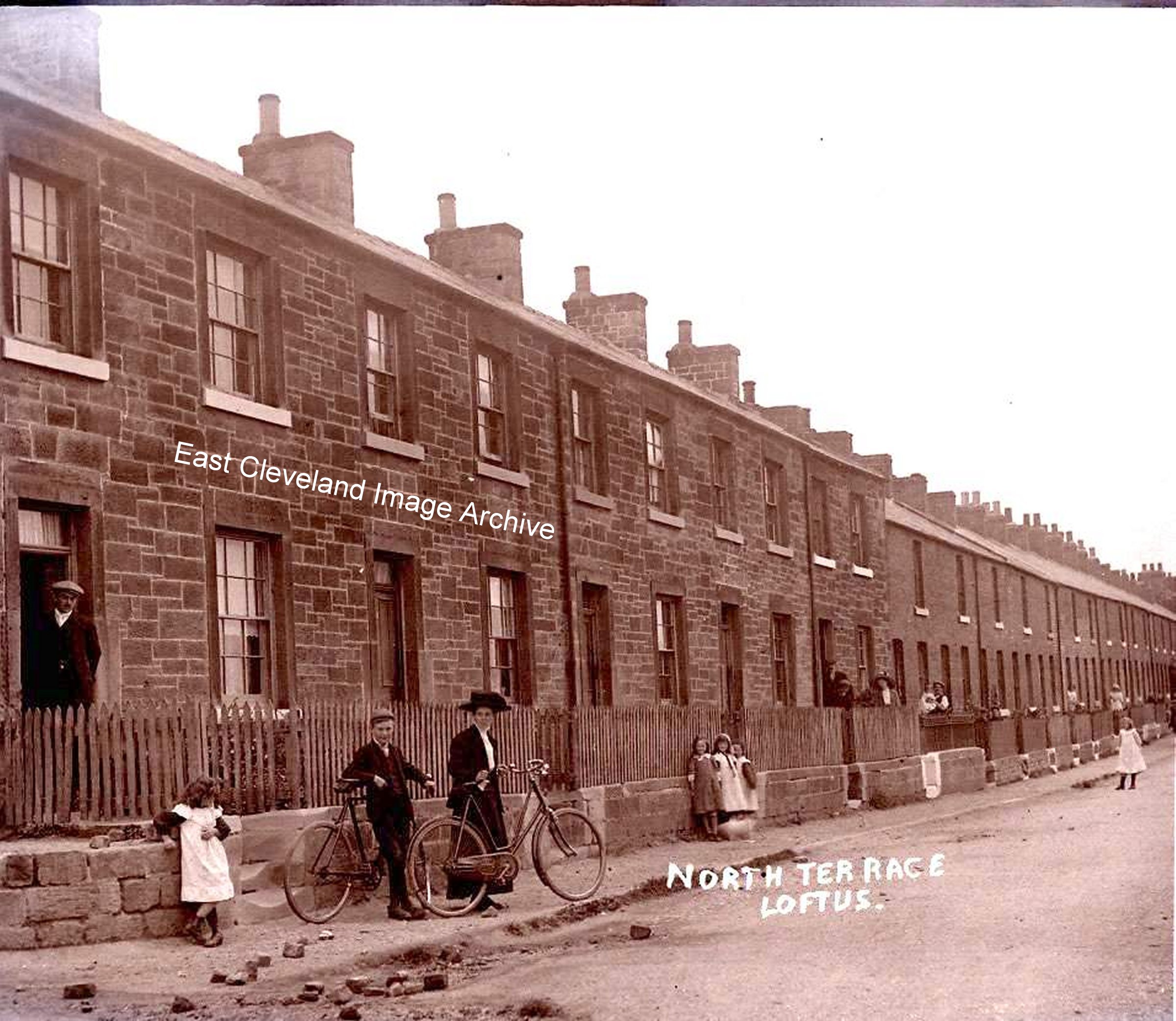
I love this postcard view, it is so clear as though it was taken yesterday, just one question how did she ride that bike in that skirt? Derick Pearson tells us: ” The original of this was in my Grandmother’s collection and was treasured by her as she, my mother and the rest of the family moved from a farm at Tranmire to no 27 North Terrace in 1929. Things were hard then and my grandfather worked in the pit as well as having a share in the old slaughter-house/abattoir round Dam End.”
Image and information courtesy of Derick Pearson (from a postcard produced by Rev. College Booth).
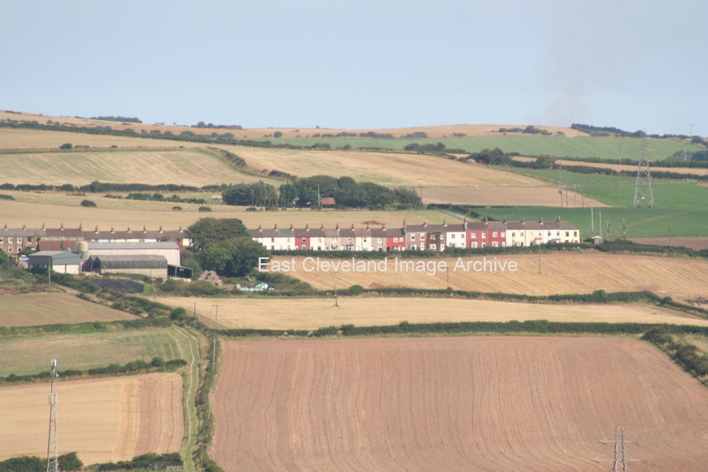
The footpath up from Wood Road, behind the Mining Museum, can be seen clearly in this photograph. It leads up to Deepdale Farm and North Terrace; Downdinner Hill Farm is sheltered in the clump of trees behind the terrace.
Image courtesy of Julie Riddiough.
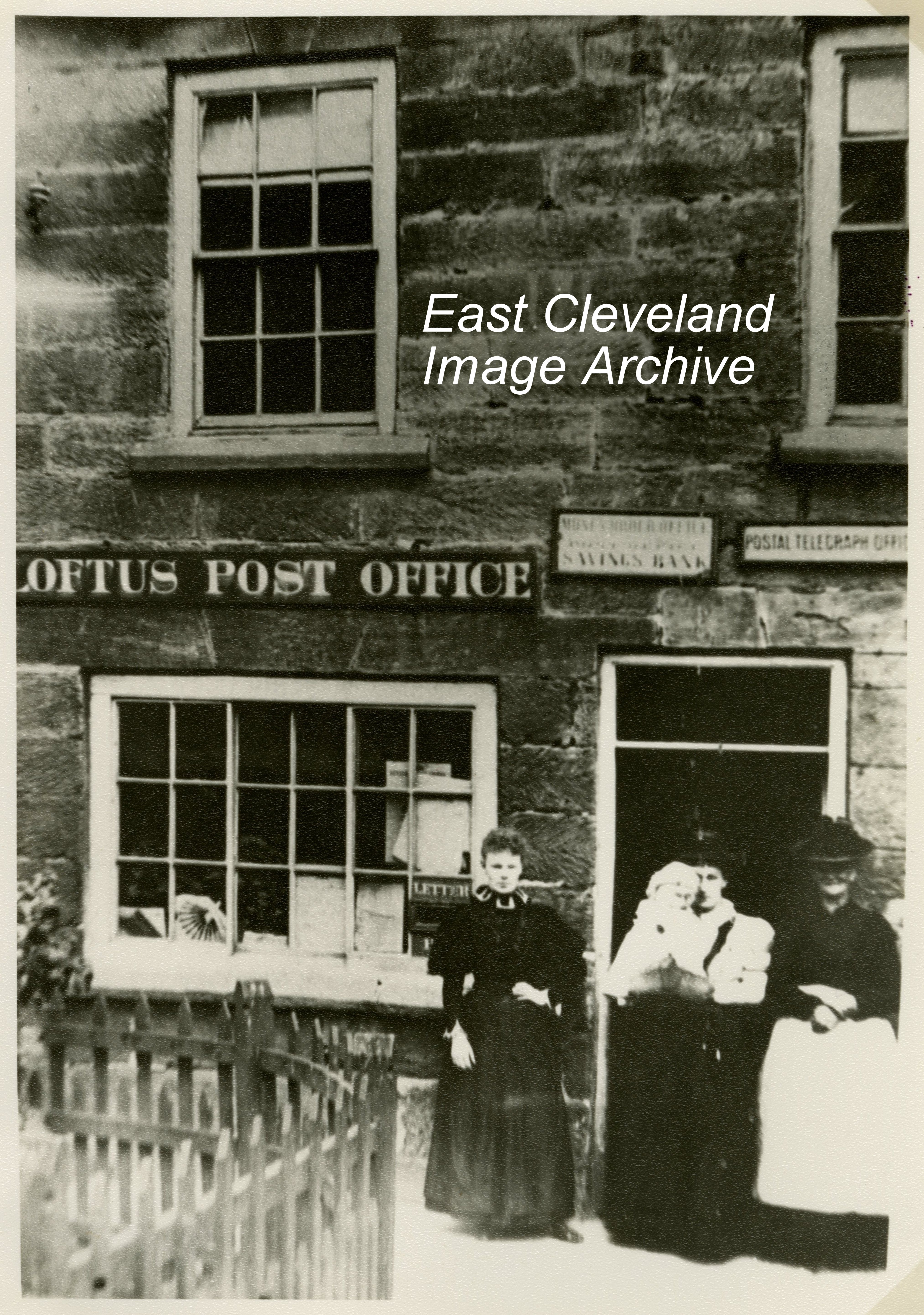
Not the Post Office as we know today, at the time this image was taken the Post Office stood quite a way back from the road; where the cafe stands now. Opposite the Town Hall; from photographs we know that the Post Office has been in at least three different locations in Loftus.
Image courtesy of the Pem Holliday Collection.
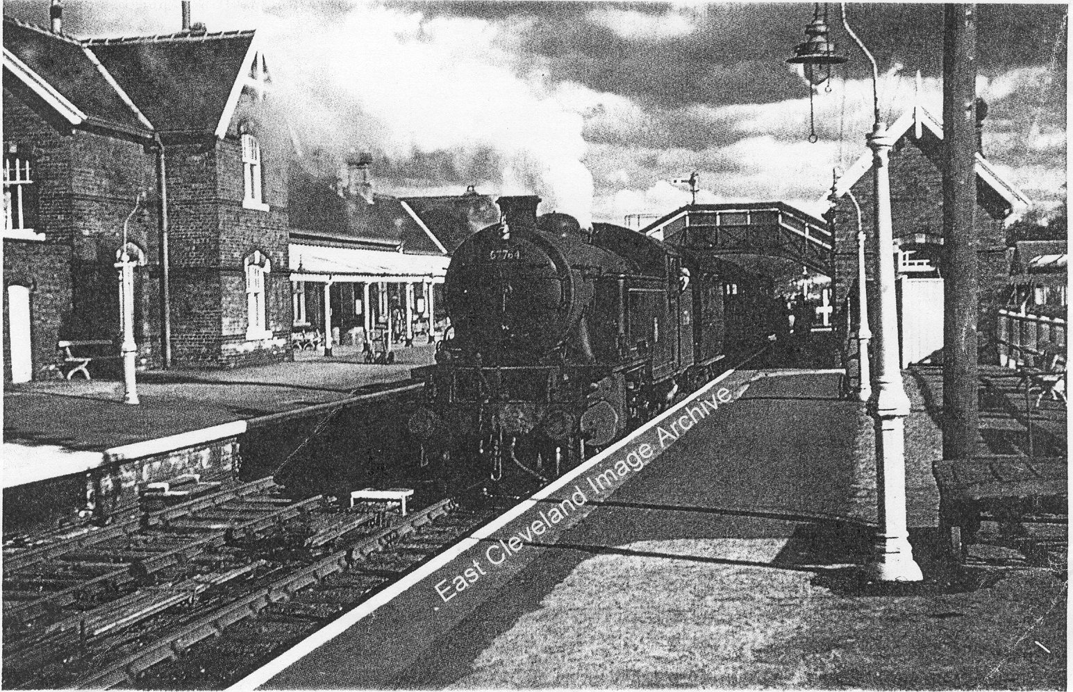
Whitby’s West Cliff Station is now residential housing; situated at the end of Station Avenue, off Upgang Lane was still operational at the time of this image. A Class L1 No. 67754 in Whitby West Cliff station with local commuter train, some three years before closure in June 1961; locomotive 67754 was built in 1948 in Glasgow, finally being withdrawn from service in 1963.
|
|


Recent Comments