|
|
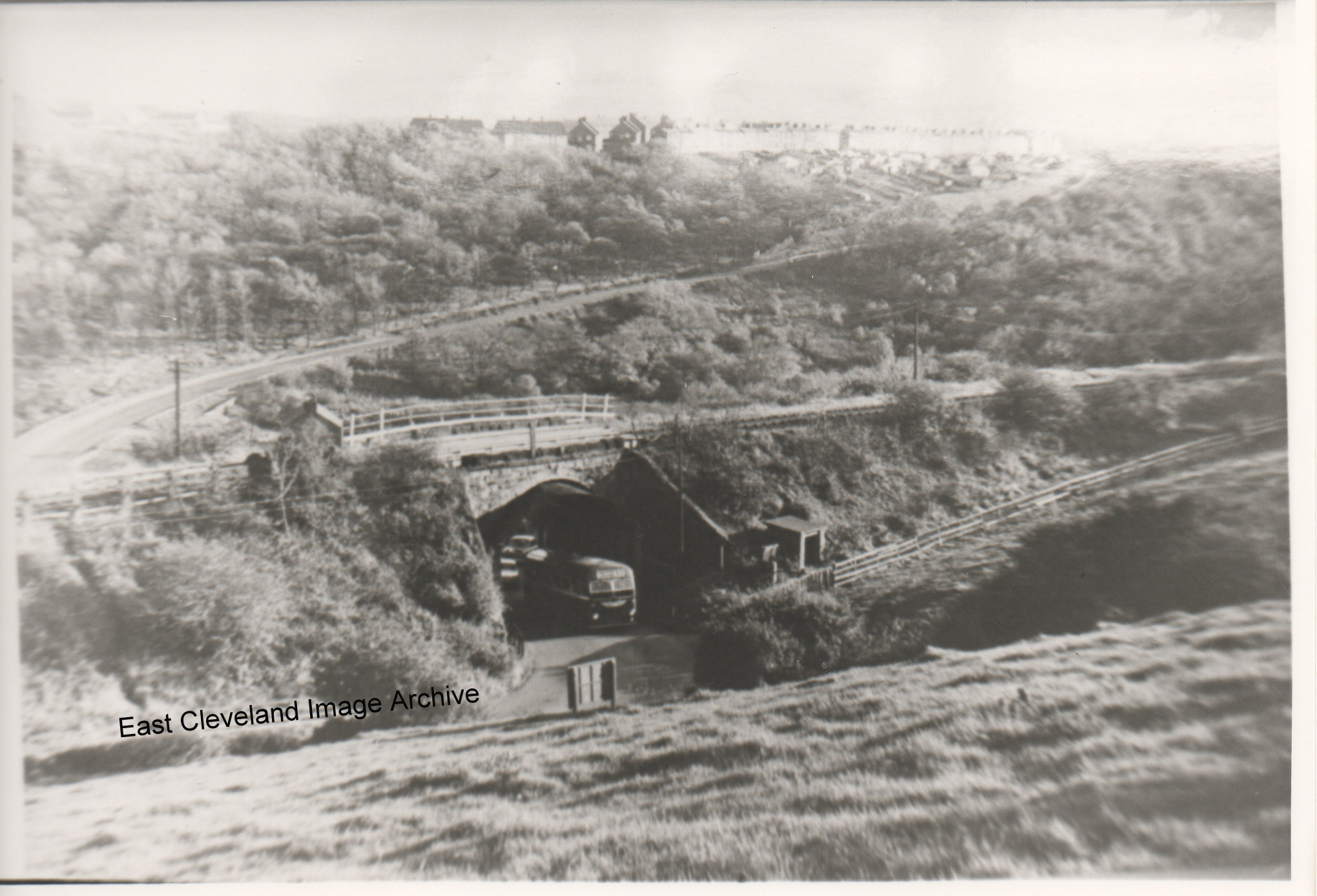
Looking down the bank from Carlin How, this is before the bank was altered it was a tight corner under that bridge, we can see where the railway went over and the bank going up to Loftus. Derick Pearson tells us: ” This was a difficult bend to negotiate and if two buses came from opposite directions one had to back off to let the other pass. Under the bridge itself were some very large timbers in an A frame construction supporting the sides. I remember when only in my teens there was a motor bike accident in which a bike crashed into a Saltburn Motor Service bus, possibly the late 1950s or early 1960s, this was a not infrequent incident under this bridge.” When was the bank altered?
Thanks to Derick Pearson for the update.
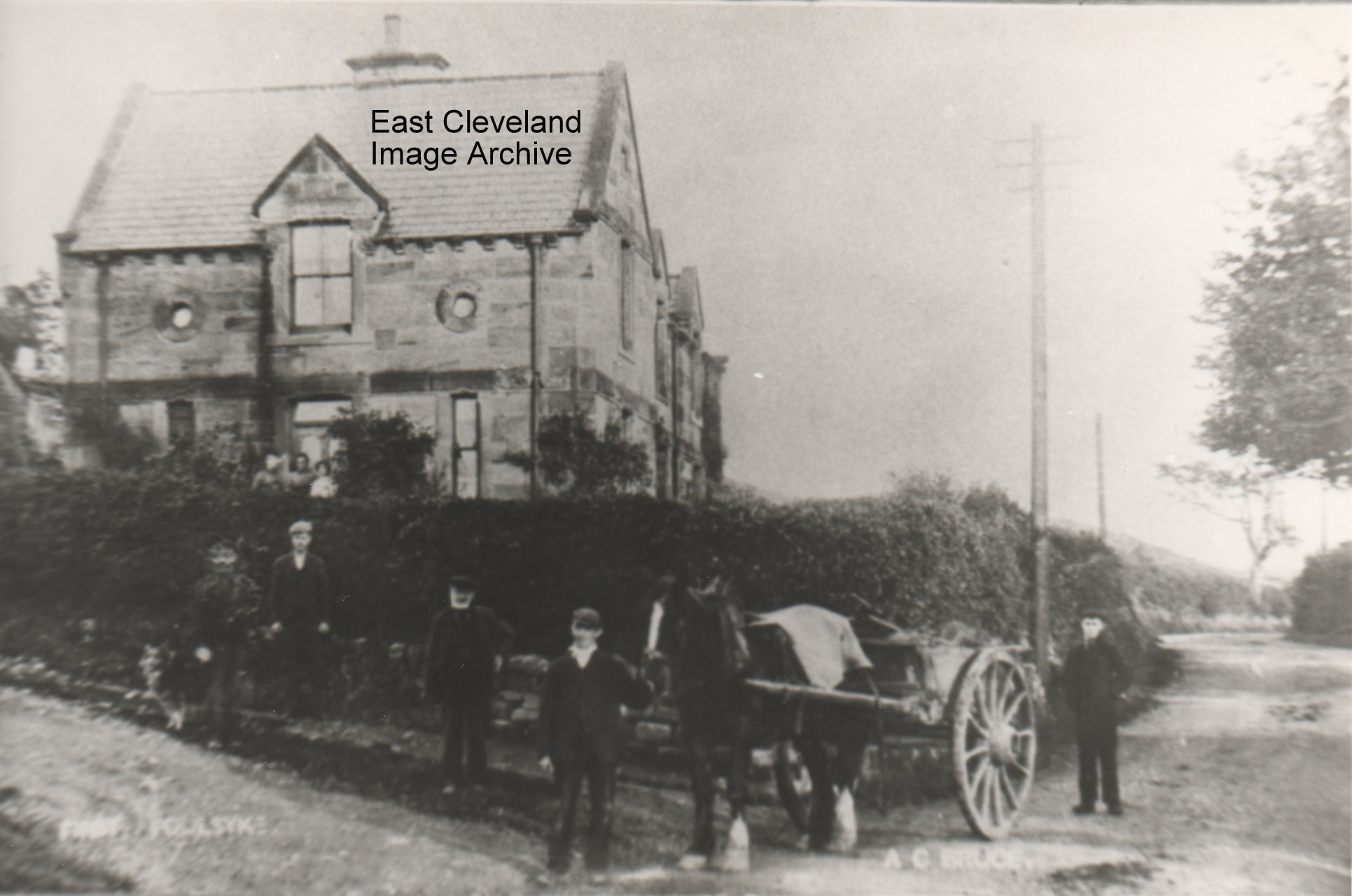
First Foulsyke as we always knew it; but this must be a very early photograph with no pavement and no tarmaced road. All the locals are out to have their photograph taken. Built by Lord Zetland from local stone, this row of three cottages (now two) was built to house cow keepers, who supplemented their income by renting land to support a couple of beasts. The name ”Foulsyke” means a ’muddy valley’. The residents in the 1940’s were: Readmans in the first house; Swalwells in the second house and the third one (correct me if I am wrong) was either a Miss or Mrs Shaw. Swalwells still have the farm; there was always a spring running in the farm-yard, where those that lived at East Loftus used to go and get water from when the taps went off. Which in the 40’s and early 50’s was very often.
Information courtesy of Jean Wiggins.
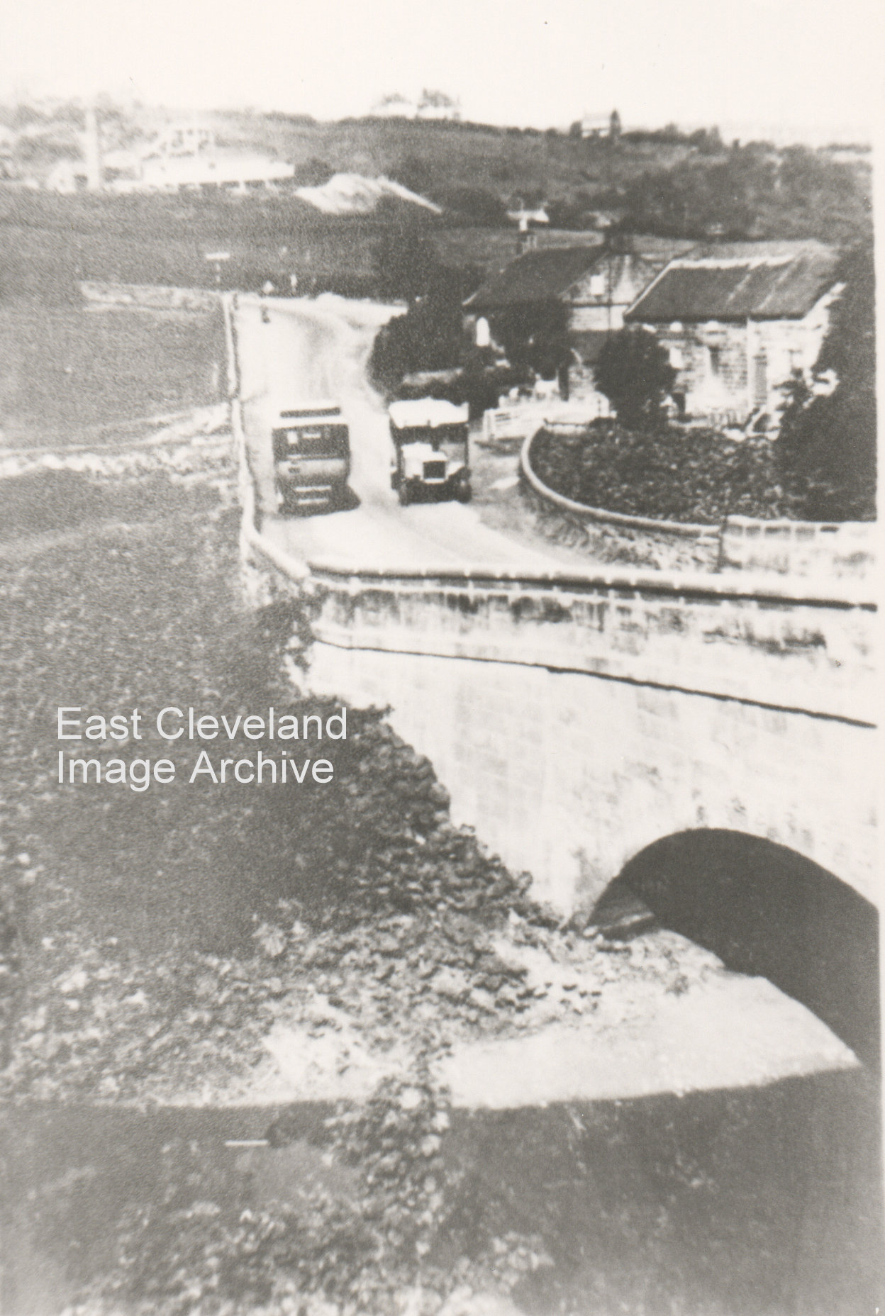
A very busy day on Mill Bank – two buses! – a lovely view of Kilton Beck and Kilton Mill; with Duck Hole pit in the background to the left.
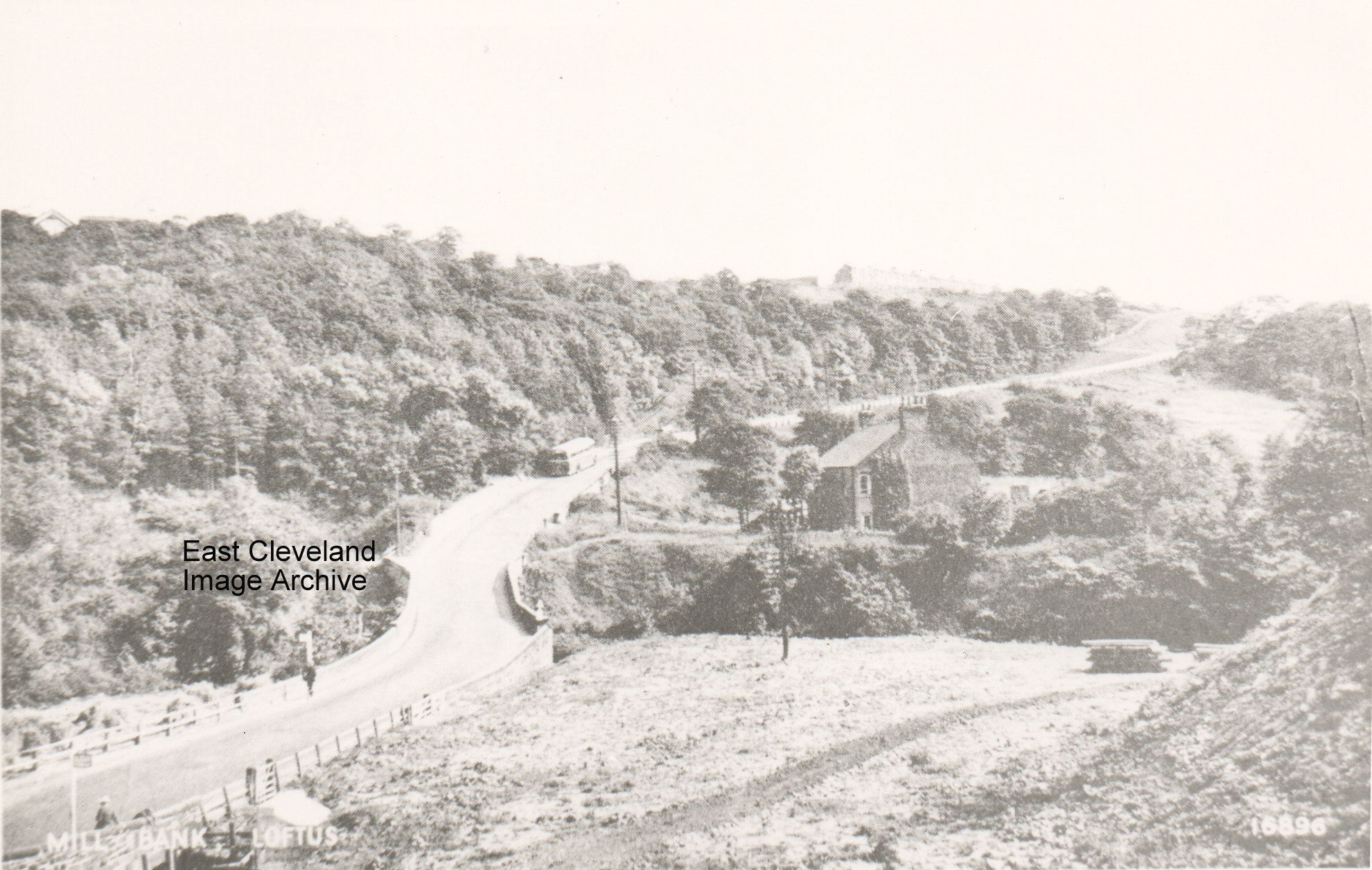
A bus half way up the bank and the entrance to Glover’s Path on the right; a pile of logs in the field (or are they pit props?). On the skyline on the left you can just make out St Hilda’s Terrace.
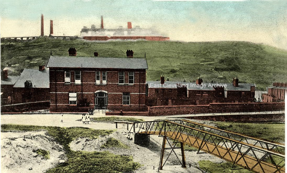
A hand-tinted photo of the hospital and the second bridge as the caption says, the works can be clearly seen on the hill in the background.
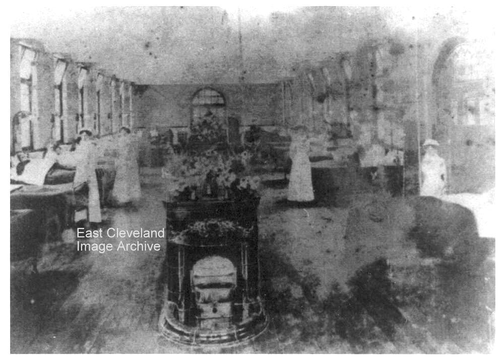
We thought this was Skinningrove, but now are reliably informed it is North Ormesby! We have also been reliably informed that the wards at Skinningrove would have a similar layout and positioning of beds, as well as heating arrangements! A poor image but you can see the nurses standing by the beds of the patients. Ann Jackson suggested: “It could be one of the medical wards. The wards were much the same layout in the late 1960’s when I started my training. They were more modern with central heating and the fire places had gone.” Rod Clarkson has confirmation with: “definitely St Michael’s or St Luke’s Wards at North Ormesby Hhospital (depending if was ground floor or 1st floor). The layout was much the same in late 1970’s when I trained there.”
Many thnaks to Ann Jackson and Rod Clarkson for those updates.
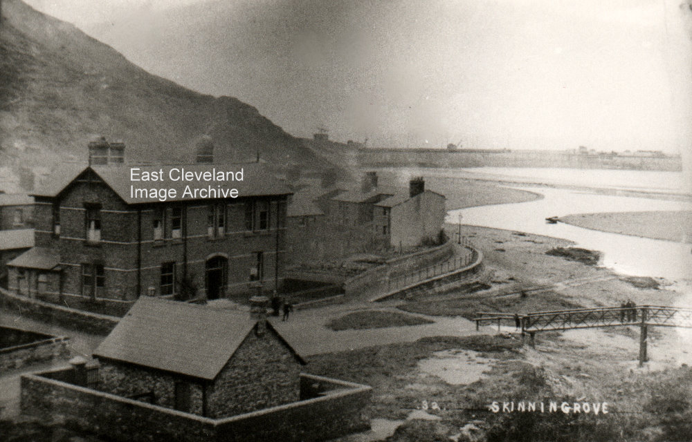
A good picture of the hospital built by the mine owners, the jetty in the background and the old bridge on the right.
Image courtesy of Alan Richardson.
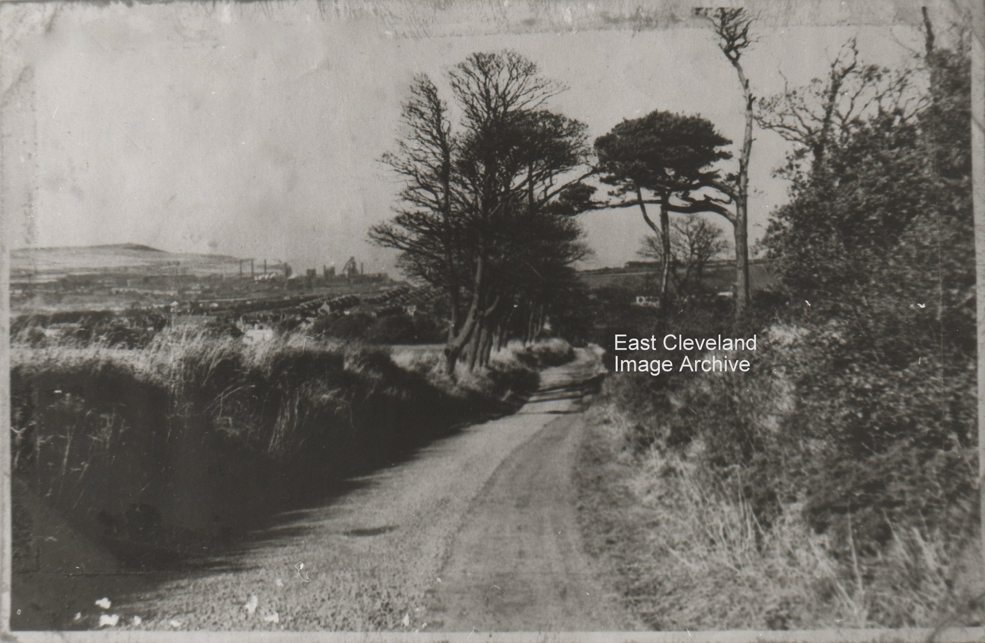
A beautiful quiet lane (and I wish I had a £1 for every time I had walked it) beautiful views all round but as usual the iron and steel works dominate the skyline.
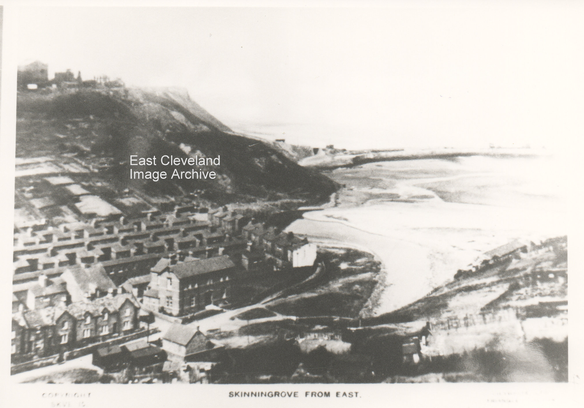
A lovely clear shot of the hospital, the jetty in the background and all the allotments on the hillside; the image is from a Smelt postcard. As yet the Archive has not sourced a clearer image, perhaps a viewer of the site can assist?
Image courtesy of the Pem Holliday Collection, Cleveland ironstone Mining Museum and others.
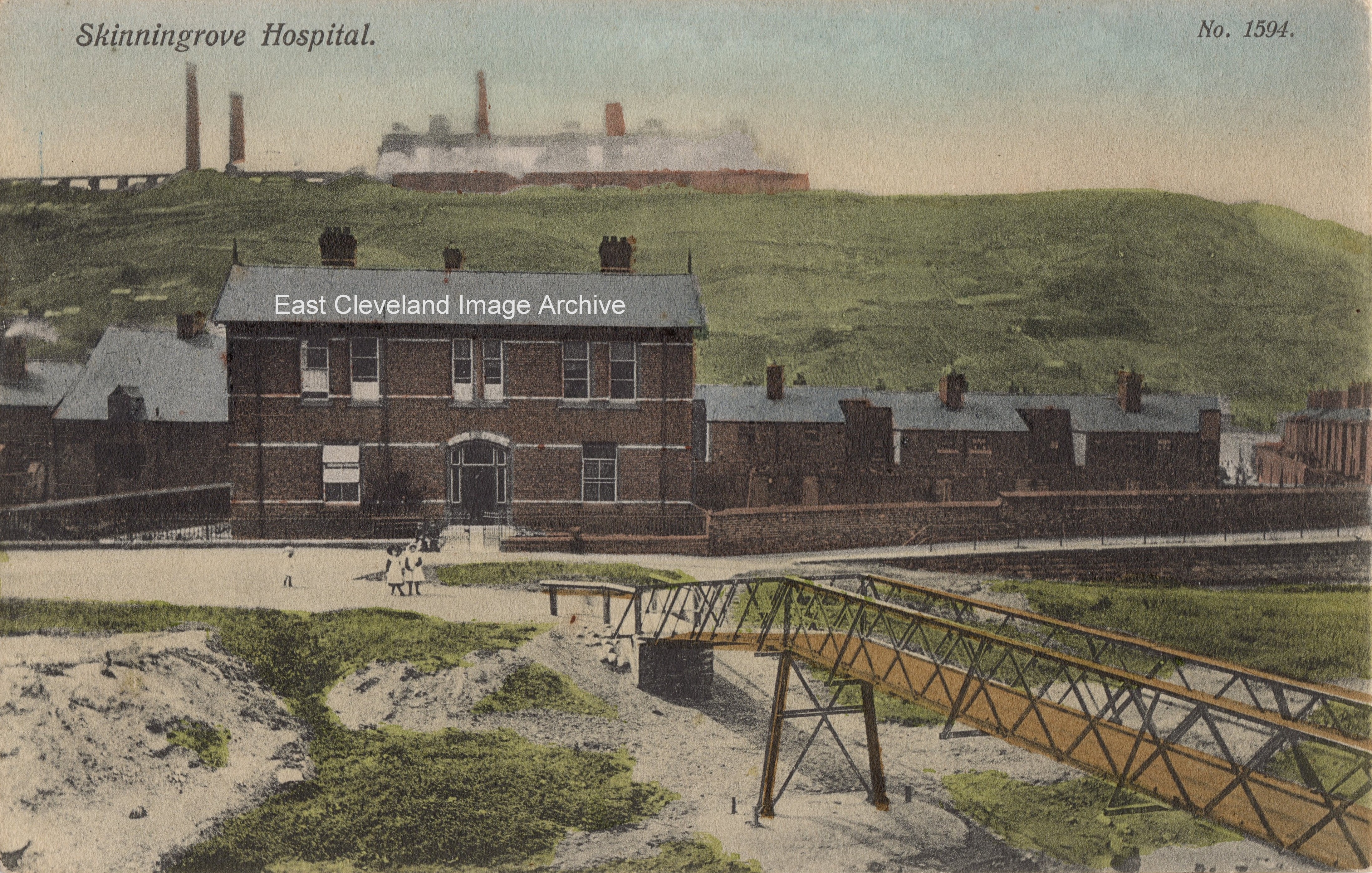
Originally we posted this image in poor black and white format; but realised it was from a postcard (based on the number – upper right corner) and there must be a better quality image somewhere. Recently whilst undertaking a scan of another collection game upon the above image and so have replaced.
Image courtesy of Julie Tyrka and Eric Johnson.
|
|


Recent Comments