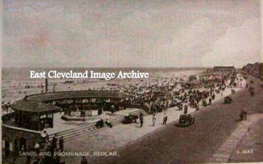
A view of the bandstand on Redcar promenade from the days when people dressed to go an walk along the ‘prom’!
Image courtesy of a supporter of the Archive.
|
|
||
 A view of the bandstand on Redcar promenade from the days when people dressed to go an walk along the ‘prom’! Image courtesy of a supporter of the Archive. 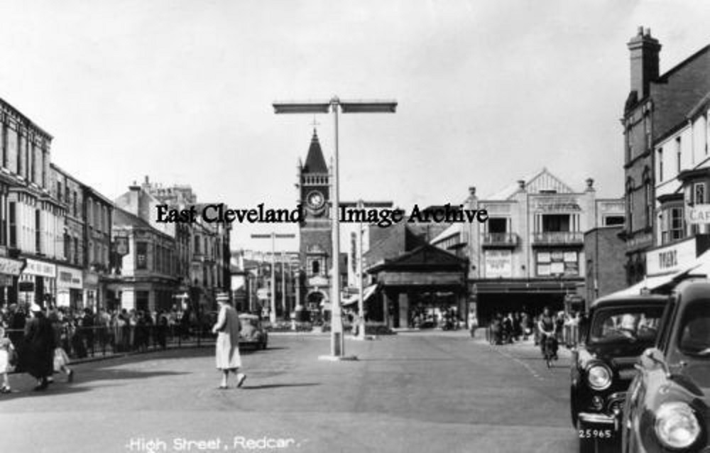 Our postcard view shows Redcar High Street in the 1950s, do you remember how the bus stops for the 78 (Lingdale) and 79 (Loftus) United services used to pick up outside Tylers shoe shop – clearly visible in this view – no bus shelters in those days! Image courtesy of a supporter of the Archive. 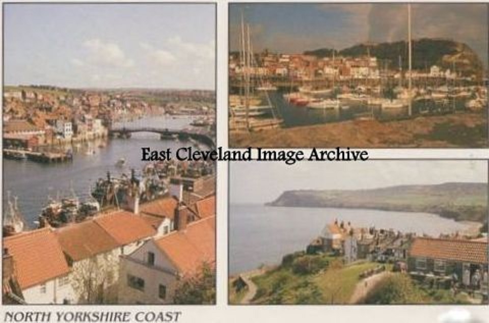 This delightful card gives views of Whitby, Robin Hoods Bay and Scarborough. Although a modern example, it gives an insight to our heritage coast and the many places to visit. Image courtesy of a supporter of the Archive. 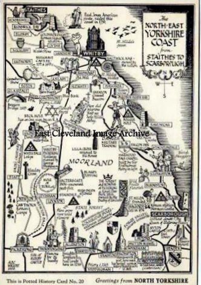 A delightful postcard view is presented as a line drawing map of the many places to visit on the North York Moors. It only portrays a fraction of the wonderful places and views that are available in our local vicinity. Image courtesy of a supporter of the Archive. 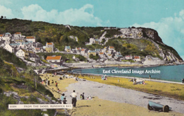 People are obviously enjoying the beach in this post 1970’s this colour postcard view, in which the solid sea defence wall can be clearly seen. Image courtesy of a supporter of the Archive. 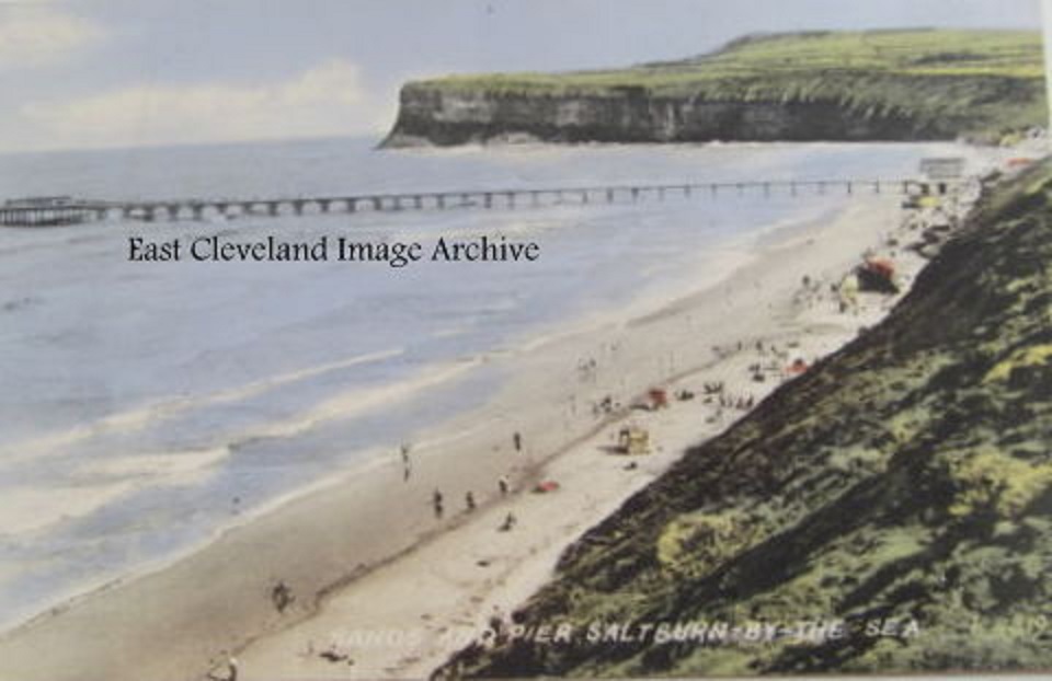 A postcard view of Saltburn pre 1974 it is believed. A lovely sunny day and the dark presence of Huntcliffe in the background cannot diminish the beauty of the beach. Callum Duff tells us: ”The Pier was finally reopened in 1952 after being breached as a precaution during WW2. The refurbishment between the end of the war and this date also saw the removal of the bandstand and the addition of glass screens on the two walkways, either side of the shore buildings. The pierhead was lost in 1974 so there’s a timeline of 22 years. I would guess that perhaps this image dates from around 1960 when the shore end buildings were weatherboarded and painted white before Saltburn’s Centenary Celebrations in 1961.” Image courtesy of a supporter of the Archive and many thanks to Callum Duff for the update. 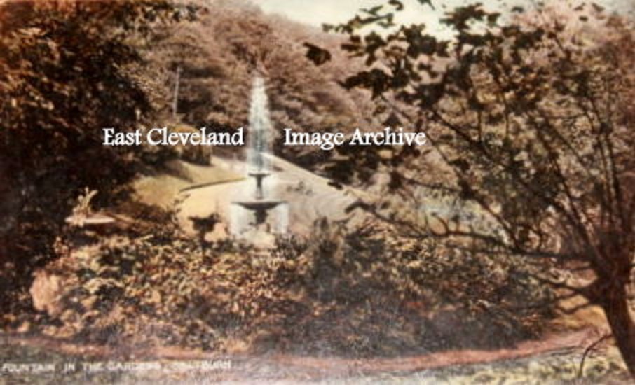 An early postcard view of the fountain which once graced the water feature in the Valley Gardens (or Italian Gardens as my grandmother used to remind us!). This sadly disappeared many years ago. Callum Duff advises: ”This fountain was one of the early features of The Valley Gardens and stood on the flat land below what is now the lawn adjoining the tearoom. It was built sometime between 1862 and 1874 and was surrounded by decorative urns. The base of the fountain can be seen to the north of what was the Chalybeate spring. The fountain itself was moved after World War II to the site of the bandstand bombed in 1940 and remains of it still exist today. Some of the bases of the decorative urns still exist either in the vicinity of the fountain’s original location or in the beck nearby.” Image courtesy of a supporter of the Archive and many thanks to Callum Duff for the supporting information. 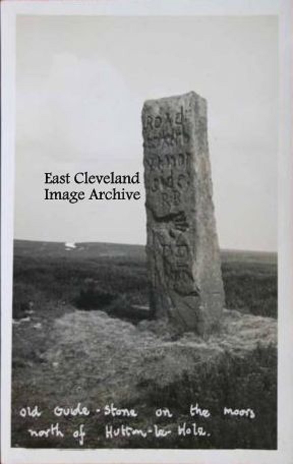 Standing above Hutton le Hole this is one of the many ancient stones on the North York Moors. This stone bears four way inscriptions, each side has a “Road to …” and then a hand symbol. Their dating continues to be a mystery. Image courtesy of a supporter of the Archive. 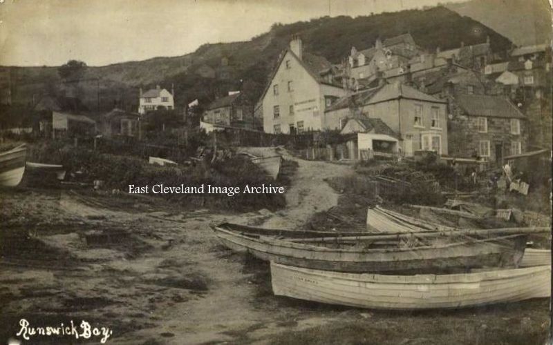 Another postcard view of Runswick showing the old slipway from the beach, no tractors for pulling in those days. Man power (or in emergencies women power) was the most common and cheapest power source.  An early postcard view of Redcar Golf Course, the gentlemen players complete with dark suits and flat caps appear to be looking, perhaps for a lost ball? Image courtesy of a supporter of the Archive. |
||
Recent Comments