|
|
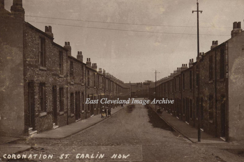
Coronation Street, Carlin How , postmarked 27th April 1927. Caroline Callow who sent us the image tells us ” My mother wrote on the back that the fifth house on the right is No.61”, however Caroline is mystified as to the importance of that information.” Her family were Glovers of 22 Wood Street, Carlin How. Can anybody help with further details?
Image and information regarding dating courtesy of Caroline Callow.
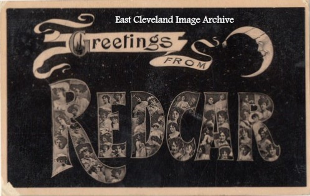
A postcard From Redcar, with Edwardian pin-ups in the letters!
Image courtesy of Pat Bennison.
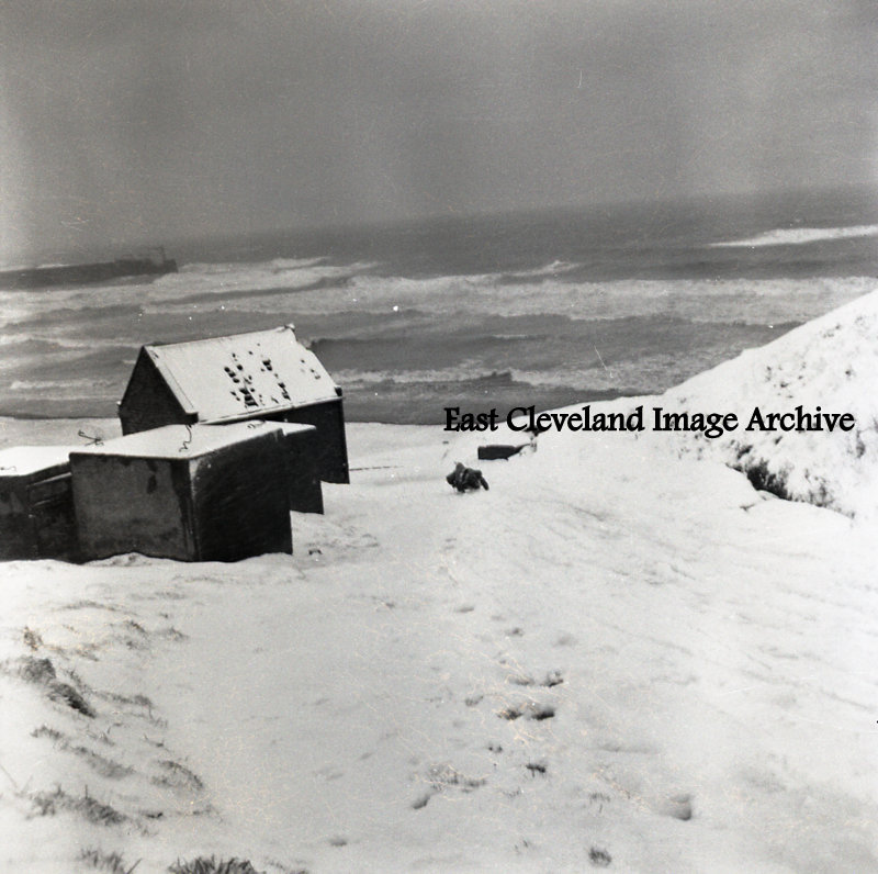
A dark and gloomy winters day on Skinningrove beach, with two persons sledging down the steep Bothroyd’s bank road.
Image courtesy of Ken Loughran.
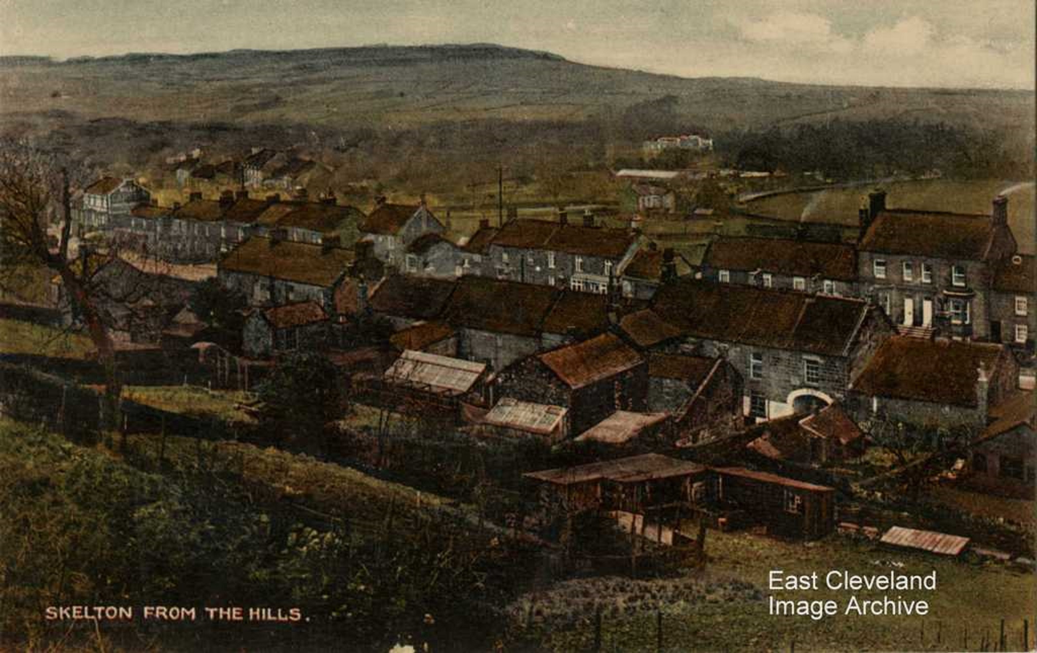
A view of the central portion of the High Street, again showing Skelton Castle in the distance. The white arched building in the foreground was for many years Skelton & Brotton District Council Offices. The gardens behind were maintained to provide flowers Council’s displays. This civic pride in their own locality must have provoked this collection of postcards.
Image courtesy of Irene Dickinson.
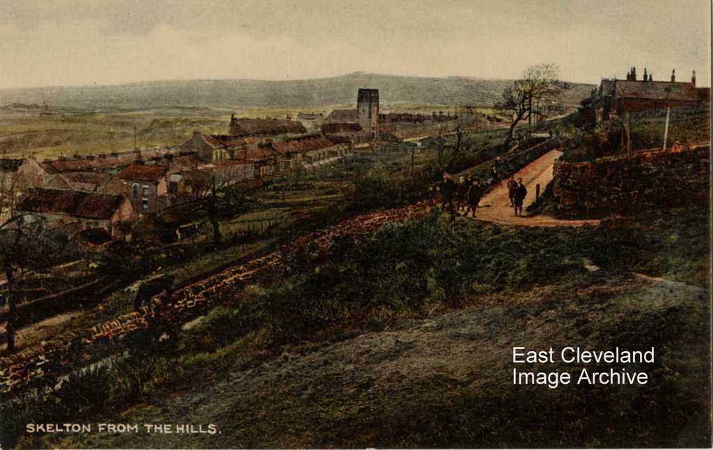
An eastward view of All Saints church and the protruding Warsett hill in the background. I wonder what the collection of boys on Swilly Lane was planning that day?
Image courtesy of Irene Dickinson.
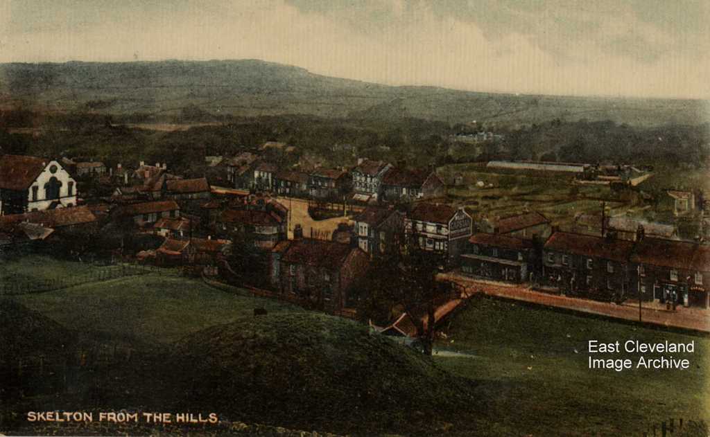
This view which includes the West End Methodist Chapel with the familiar white frontage on to Green Road and Skelton Castle almost hidden amongst the trees in the centre of this view.
Image courtesy of Irene Dickinson.
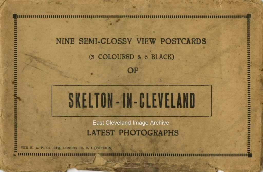
This collection of nine postcard images of Skelton came encased in this explanatory sleeve; produced by The R & P Co. Ltd of London EC4.
Image courtesy of Irene Dickinson.
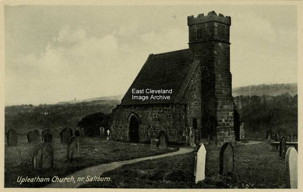
Obviously the postcard company felt this local building of note was worthy of inclusion in Skelton viewpoints.
Image courtesy of Irene Dickinson.
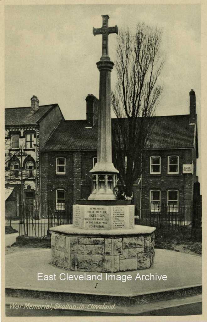
The inclusion of the war memorial gives some indication of the period of production of this postcard series, as prior to the early 1920s memorials were not so prevelant.
Image courtesy of Irene Dickinson.
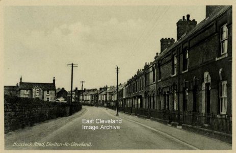
The road today is usually lined to the right with parked vehicles, but the former ironstone miner’s hospital (now a nursing home) still stands at the left of this scene. Margaret Bruce tells us: ”The old Miners’ Hospital on the left of this image was at some point divided into two residences (not sure of the date when this happened). It has certainly been two residences from 1957 to the present day (2016). One residence has access from Manless Terrace only (The Bungalow), while the other part of the house has access from both Manless Terrace and Boosbeck Road.” Mary Jones tells us: ”I’m almost certain this building, or part of it, was used as a surgery by Doctor Rooney in the late 1950s.” Margaret Bruce added: “Doctor Rooney lived in Ardmore House, which is next door to Rawcliffe House and is not shown on this photograph.”
Image courtesy of Irene Dickinson; thanks to Margaret Bruce and Mary Jones for the updates.
|
|

Recent Comments