|
|
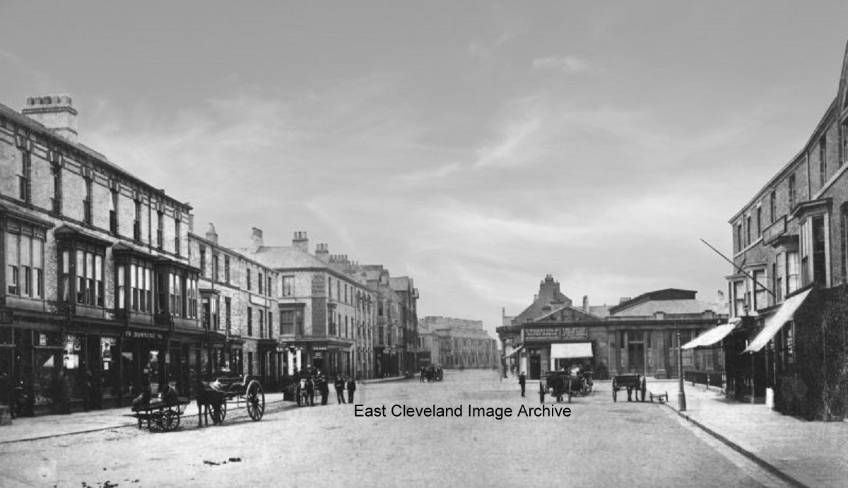
A not so busy day in Redcar, the horses and carriages are there but not so many people. This view shows the ‘crossroad’ junction which today is dominated by Redcar Clock; a memorial to King Edward VII. Paid for by public subscription, the clock was built on the previous boundary of Redcar and Coatham, and it was to face the four cardinal compass points, North, South, East and West 17 designs were tendered and that of architect William Duncan was accepted. Robert Richardson made the clock’s mechanism and the builder was John Dobson.
Image courtesy of Mike Holliday, information courtesy of “This is Redcar – Your Guide to the Town”
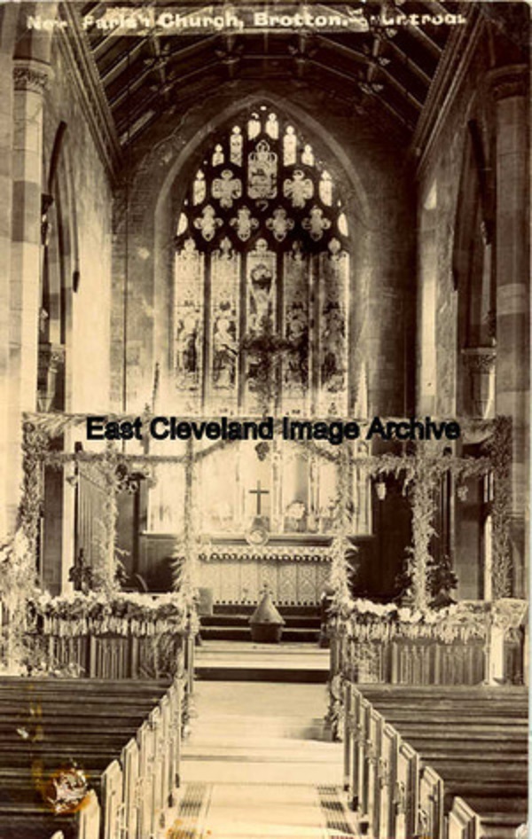
A postcard by Huntrods of Brotton, the inside of St Margaret’s church and by the look of it all dressed for harvest festival.
Image courtesy of Cleveland Ironstone Mining Museum.
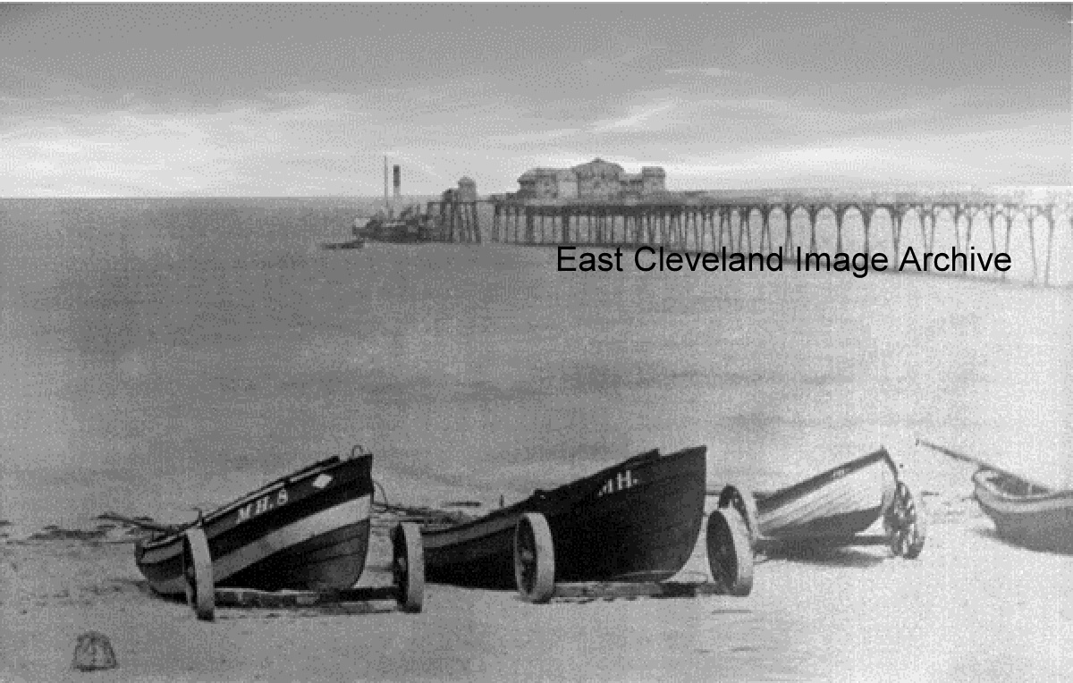
The boats are pulled well up and it shows the pier very well, but is it Redcar or Coatham pier?
Fred Brunskill advises us: ”This is Redcar Pier taken in it’s early days. The Pier was opened by Emma Dawson in 1873 and the end section was a steamer jetty, this unfortunately was damaged by the steamship ‘Cochrane’ in 1885 and had to be pulled down.”
Image courtesy of Mike Holliday, thanks to Fred Brunskill for the update.
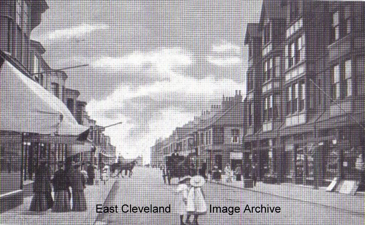
Fred Brunskill tells us: ”This photograph is of Station Road looking towards the Coatham Pier. The section beyond the horse was originally called Newcomen Street but later became part of Station Road in 1934.”
Image courtesy of Mike Holliday, thanks to Fred Brunskill for the update.
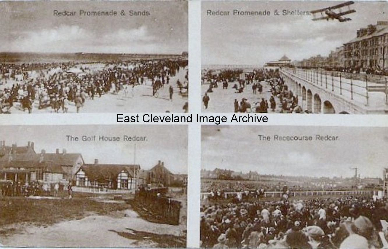
The promenade is not as I remember it, do you remember the shelters? Looks like a good day at the races.
Image courtesy of Mike Holliday.
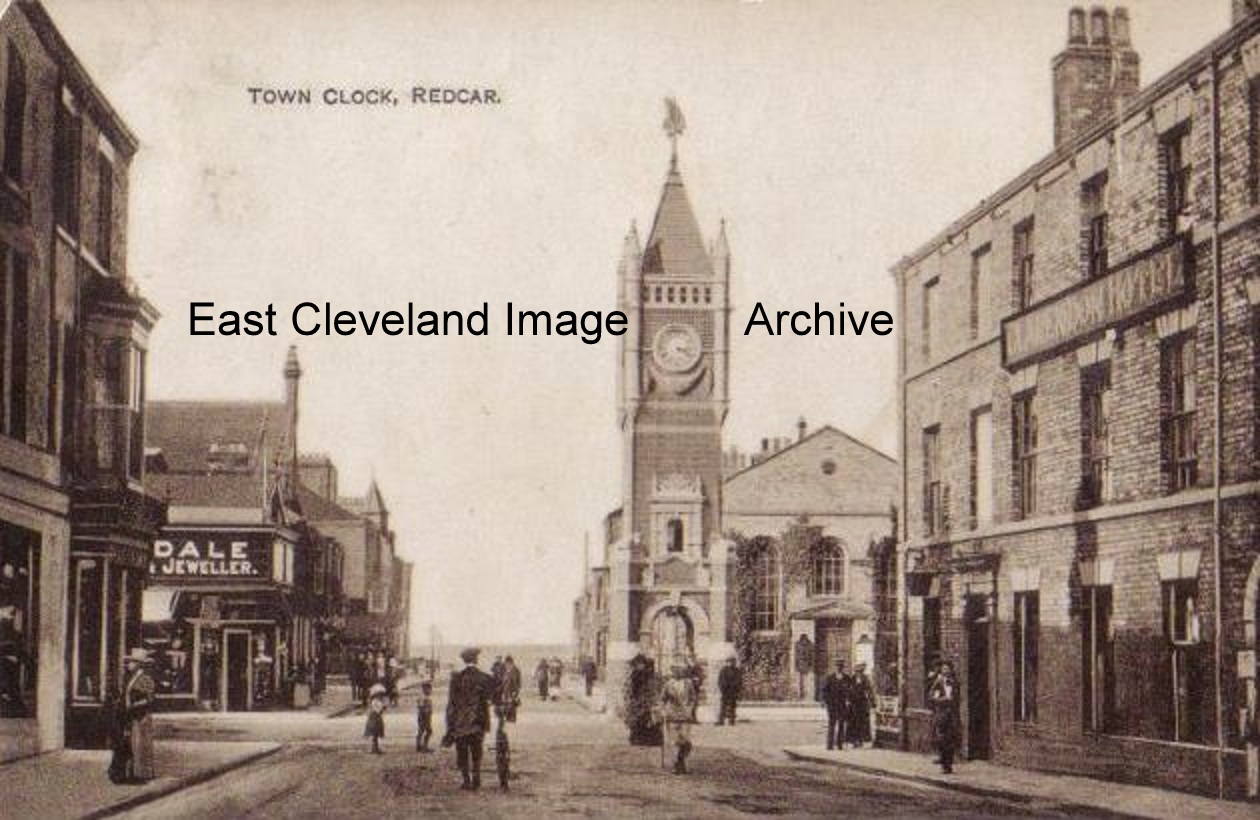
Yes once again it’s Redcar and a lovely early photograph of the clock.
Image courtesy of Mike Holliday.
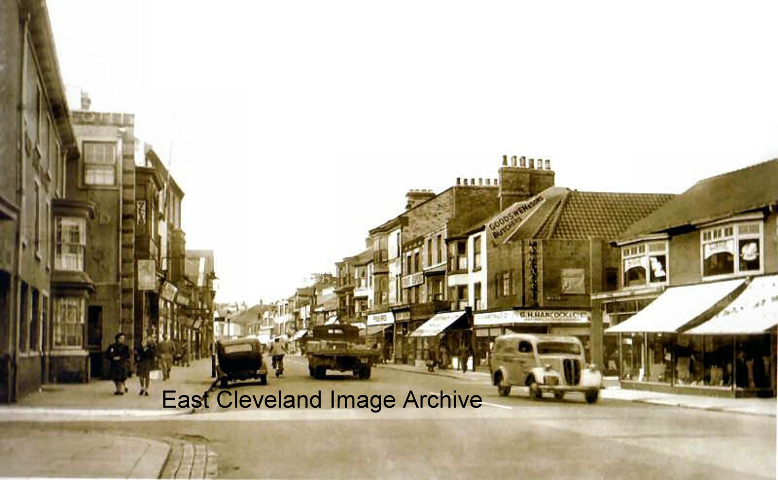
Easy to see that this is Redcar but what date do you think about early 1950’s?
Image courtesy of Mike Holliday.
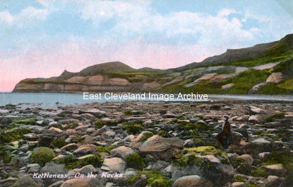
Low tide in Runswick Bay, looking eastwards, beyond Claymoor Beck, with the headland of Kettle Ness in the background; the cliffs and headland have been shaped by the alum quarries.
Image courtesy of Beryl Morris (from a Tom Watson postcard).
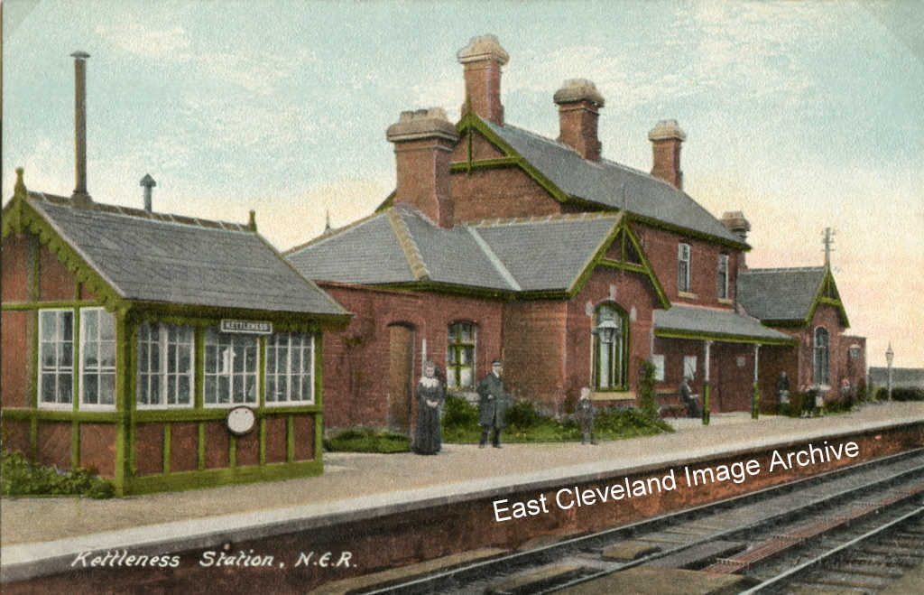
Kettleness Station, as it was early last century. It dates back to the 1880s, was intended principally for tourists and visitors, and had passing loops with two platforms so that passenger trains could pass here. The line closed in 1958. The building and grounds are a Scout Activity Centre, leased from the Marquis of Normanby, and opened in 1964.
Image (from a Tom Watson postcard) courtesy of Beryl Morris.
On 17th December, 1829, the village and alum works were destroyed by subsidence of the cliff after torrential rain. The villagers were rescued and taken aboard an alum ship, ’Little Henry’, that was anchored in the bay. The alum works resumed production two years later.
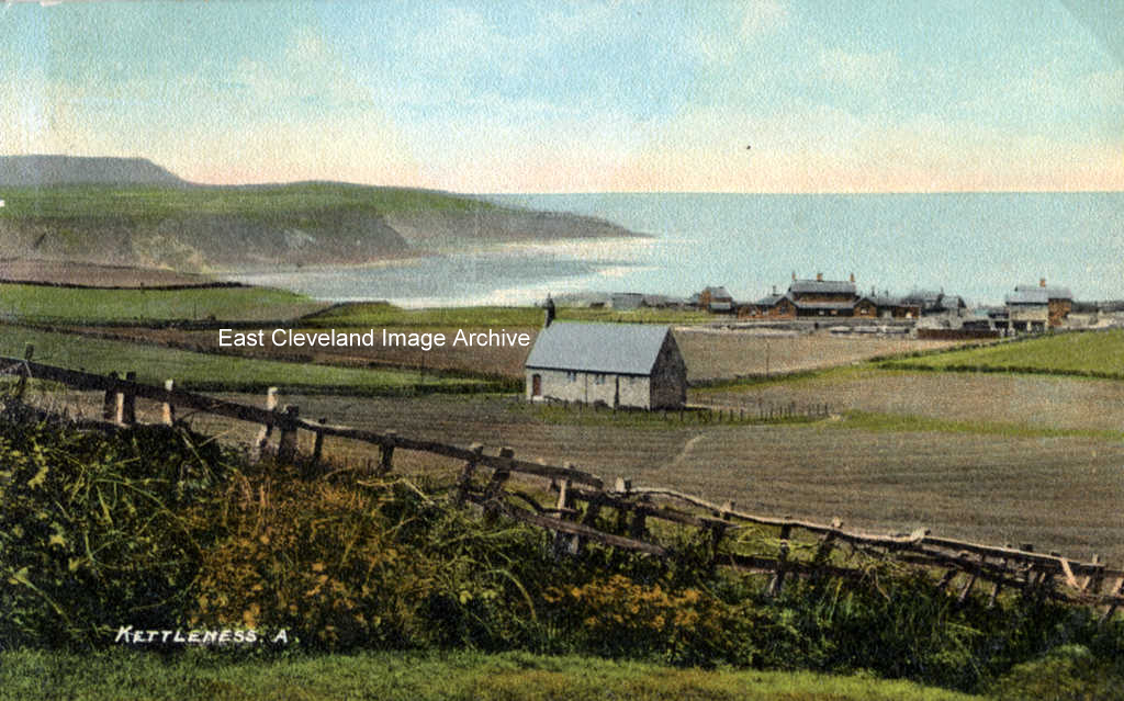
This view, dating from the early 1900s from a postcard by Tom Watson, is taken from the footpath at Scratch Alley and looks north east, over the old chapel (originally the mission church of St John the Baptist, built in 1872) and railway station.
Image courtesy of Beryl Morris for the image.
|
|
Recent Comments