|
|
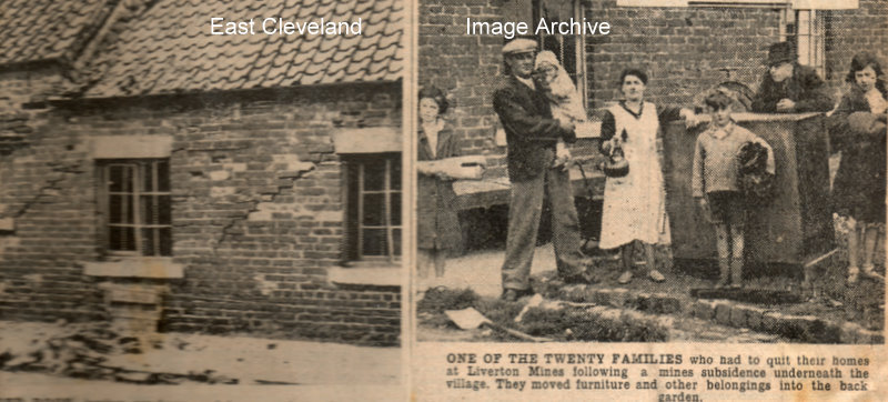
Damaged roof, broken windows and huge cracks in the walls of a house in Cleveland Street, Liverton Mines caused by mines subsidence. Just one of the 20 families who had to leave their homes, they moved furniture and other belongings into the gardens. Do you know this family?
Images are from our cuttings file (in the main from the Evening Gazette).
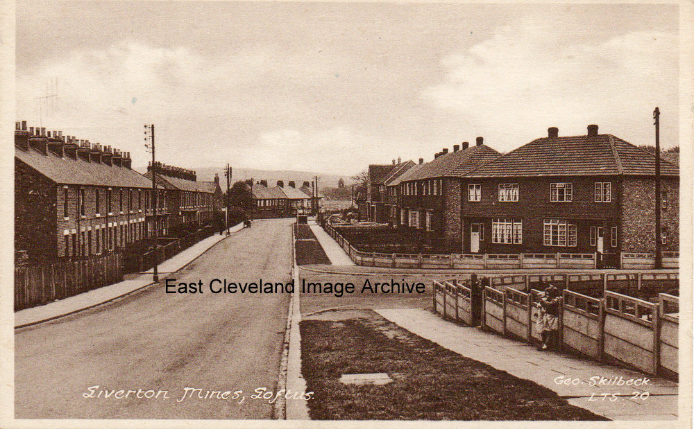
A lovely view down Liverton Road, with the council houses now built. Carolyn Mortimer advises: “this view shows houses at the top of the bank, built c.1937 – I was born at ‘Meadowfield’ so called – before the council houses were built! It has been an amazing journey going through all the photographs – thank you for all your efforts. My mother Rene Mortimer was church organist at St Helens in Liverton Mines for over 40 yrs and my father was Jim Mortimer, carpenter at the Coop in Loftus.” Danny Plews adds: “My Mum lived at the second house down before I went into the army in 1960.”
Image courtesy of Ken Johnson, thanks to Carolyn Mortimer and Danny Plews for the updates.
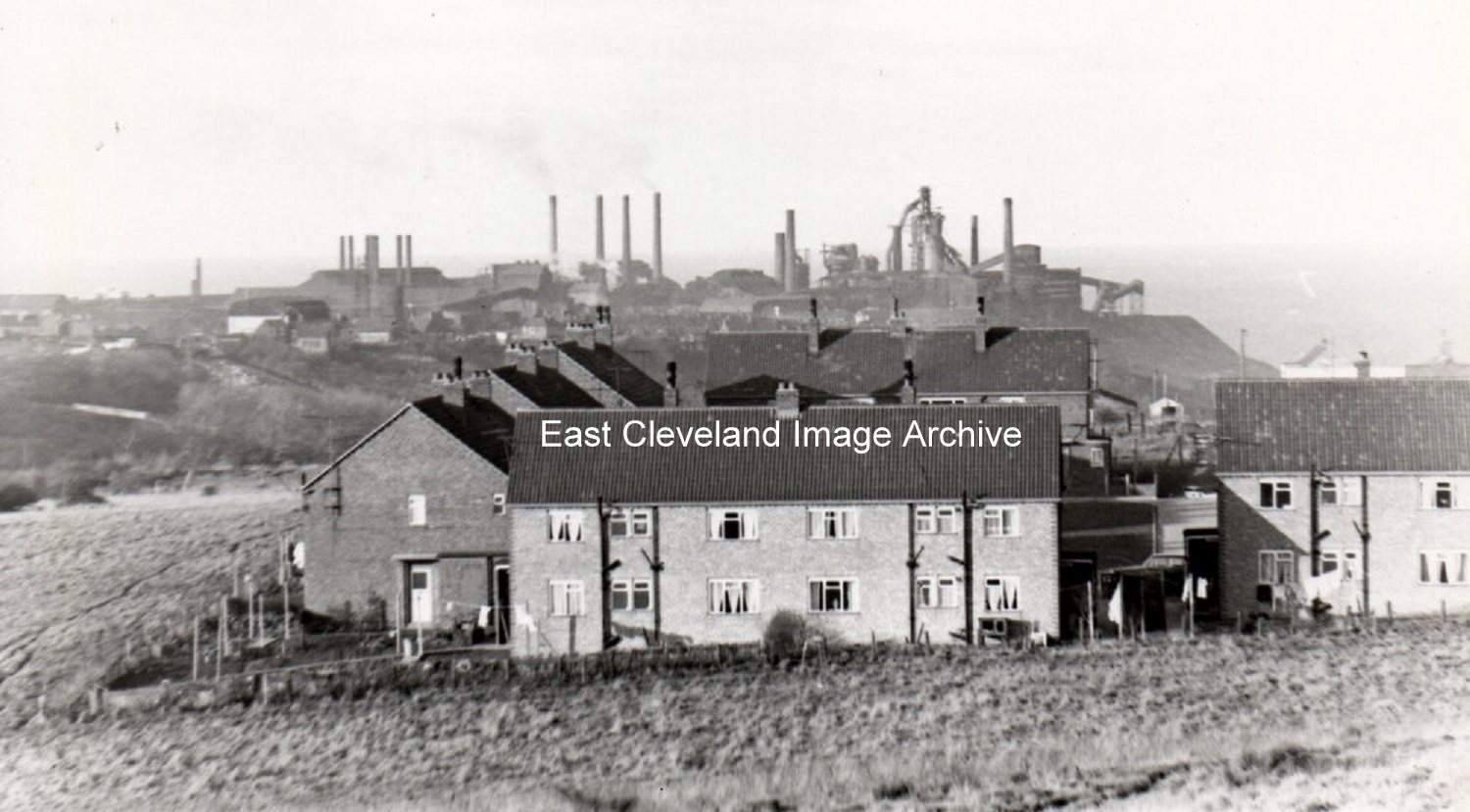
Taken from the road leading to Liverton, in the foreground are the flats, built at the end and to the back of Cleveland Street and as ever dominating the skyline are the Iron and Steel works.
These flats named St Martin’s Close were built on the former St Martin’s Row which were part of the original Pit houses when Liverton mine was established.
Thanks to Ray Brown for the information.
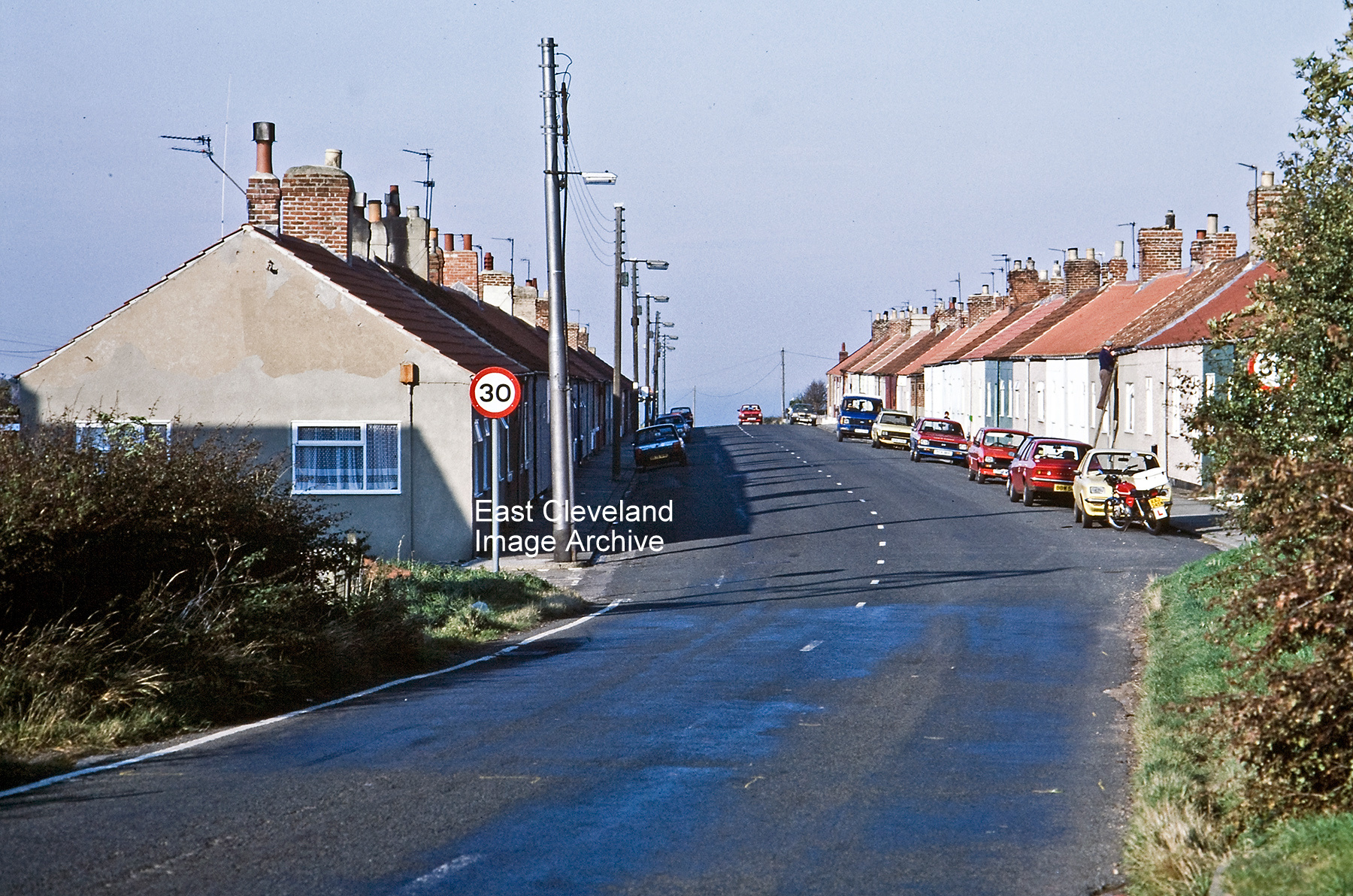
Raymond Brown advised: “These dwellings were originally Upper Cleveland Street and have survived at least 2 condemnations to my knowledge; Lower Cleveland Street (except for numbers 1 and 2, looking very much like semi-detached bungalows still standing) was demolished many many years ago.
(image courtesy of Raymond Brown, thanks to Angela Vincent and Miss Ward for the updates.
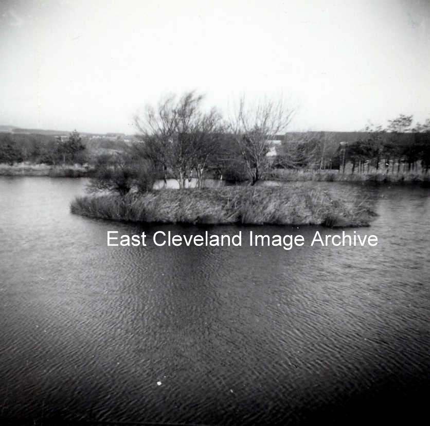
The reservoir used to be where the playing field is now. There was a concrete causeway, about a foot below the water surface, across to the island. Susan Skelton advises: “Bubbles can remember all the frogs and his brother Frank. In my childhood the frog pond was near the swings.”
Image and information courtesy of Joe Ward, thanks to Susan Skelton for the update.
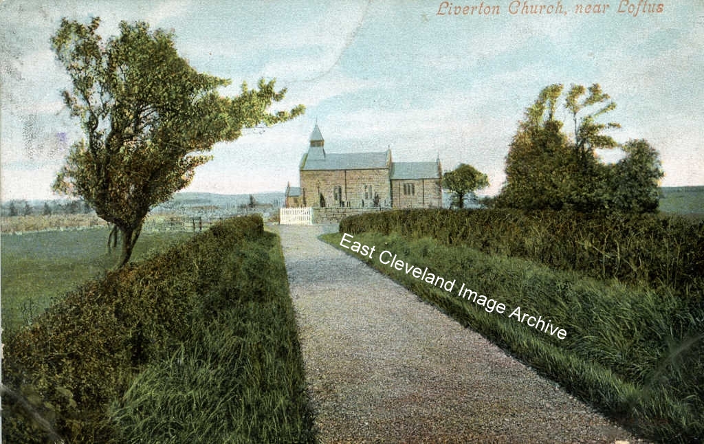
This lovely coloured postcard of Liverton Church produced by Cooke’s Fancy Bazaar, Loftus; latterly McColls on West Road and was sent to Glasgow in 1905.
Image courtesy of John G. Hannah.
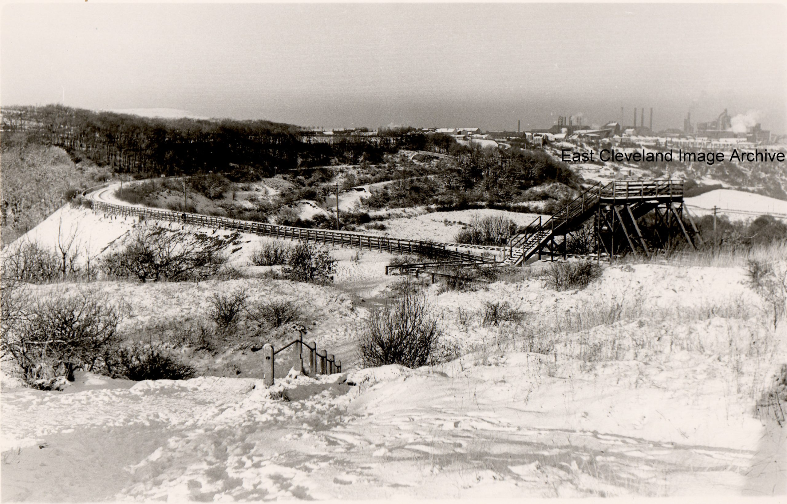
A cold snowy picture of the railway line from Carlin How to Loftus; had you crossed the footbridge and followed the path it would have taken you down onto Glover’s Path where Whitcliffe mine once was and then onto the bottom of Mill Bank leading you to either Loftus or Carlin How.
Image courtesy of Eric Johnson.
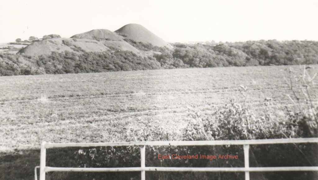
Taken from Kilton Lane, Carlin How, we can see the shale tips of Liverton Mines with the mine just visible in the background. Graham Suggett asks: “When was the reservoir at Liverton Mine filled in?” Can anybody assist with a date?
Image courtesy of Eric Johnson, thanks to Graham Suggett for the query.
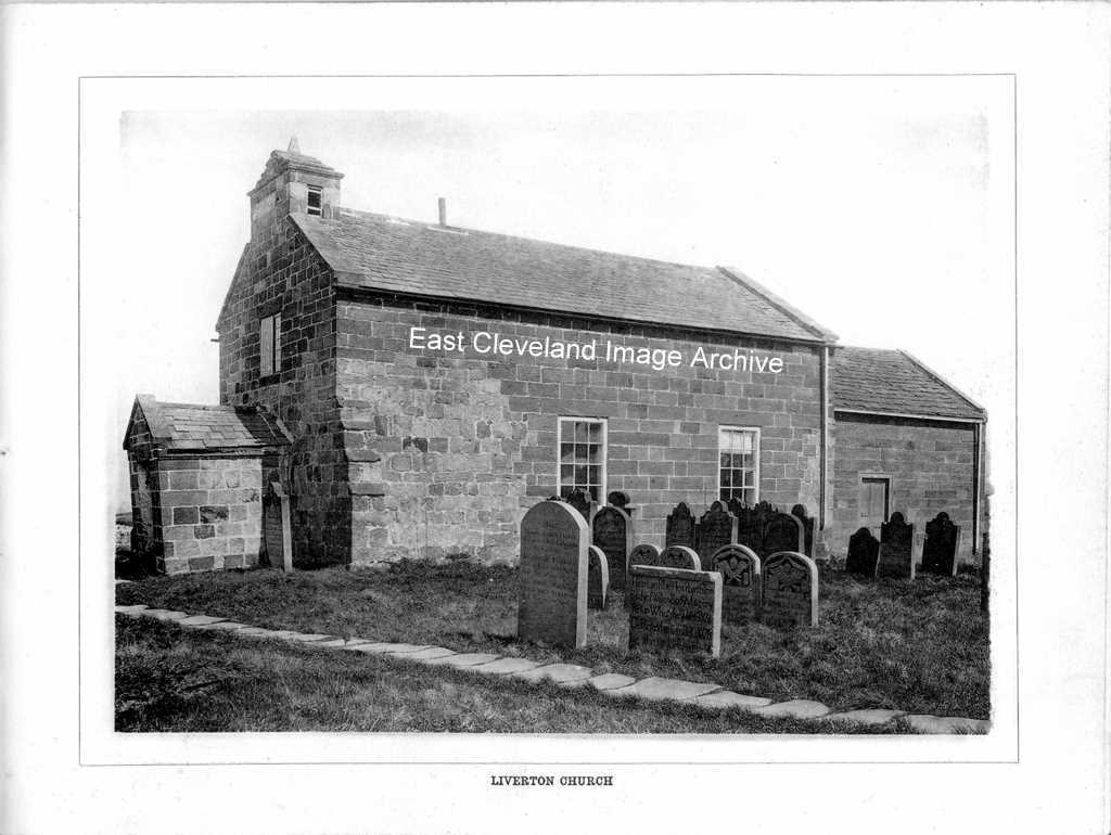
St. Michael’s Church, Liverton; a delightful church in equally delightful surroundings.
Image courtesy of the Pem Holliday Collection; taken from ”Cooke’s Views of Loftus and District” an album of views around Loftus produced by Cooke’s Fancy Bazaar of West Road, Loftus.
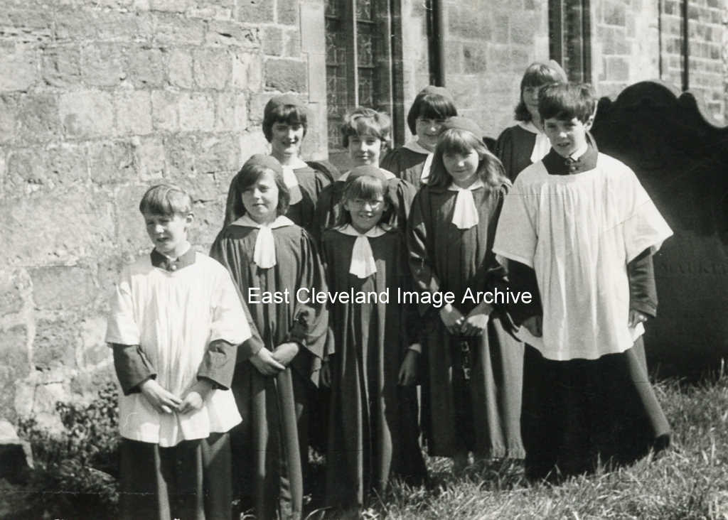
This photograph of the choir of St. Michael’s Church, Liverton was taken in about 1966.
At the back: Margaret Maudsley, June Lees, Susan Whitwell and Christine Wallace.
In front: David Lees, Janet Codling, Audrey Wallace, Jean Wallace and Douglas Lees.
Image and information courtesy of Mrs. Janet Wilson.
|
|
Recent Comments