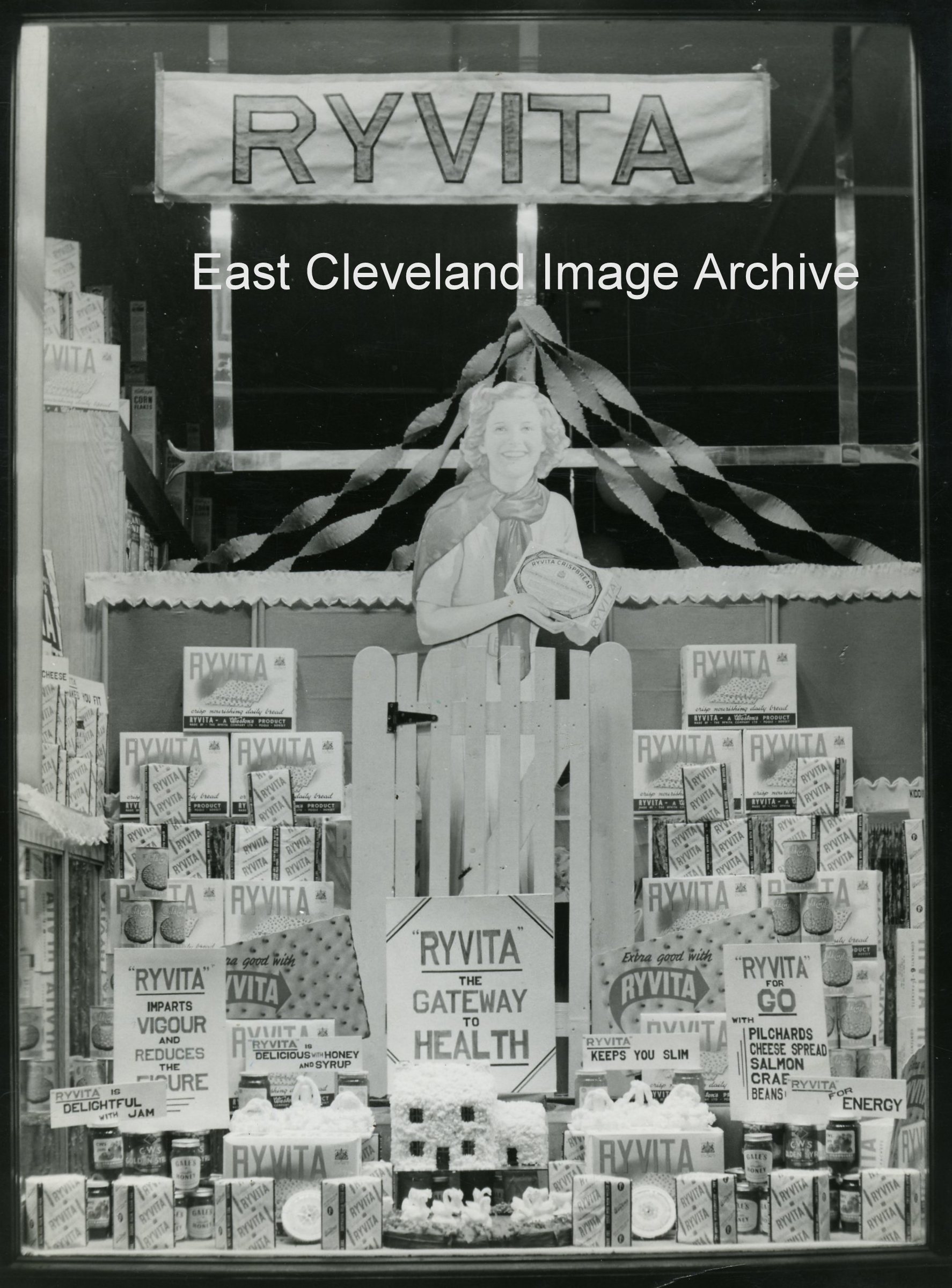
The other window of the Co-op dressed with Ryvita, I think it would be in the late 1950’s. What do you think?
Image courtesy of Loftus Town Crier.
|
|
||
 The other window of the Co-op dressed with Ryvita, I think it would be in the late 1950’s. What do you think? Image courtesy of Loftus Town Crier. 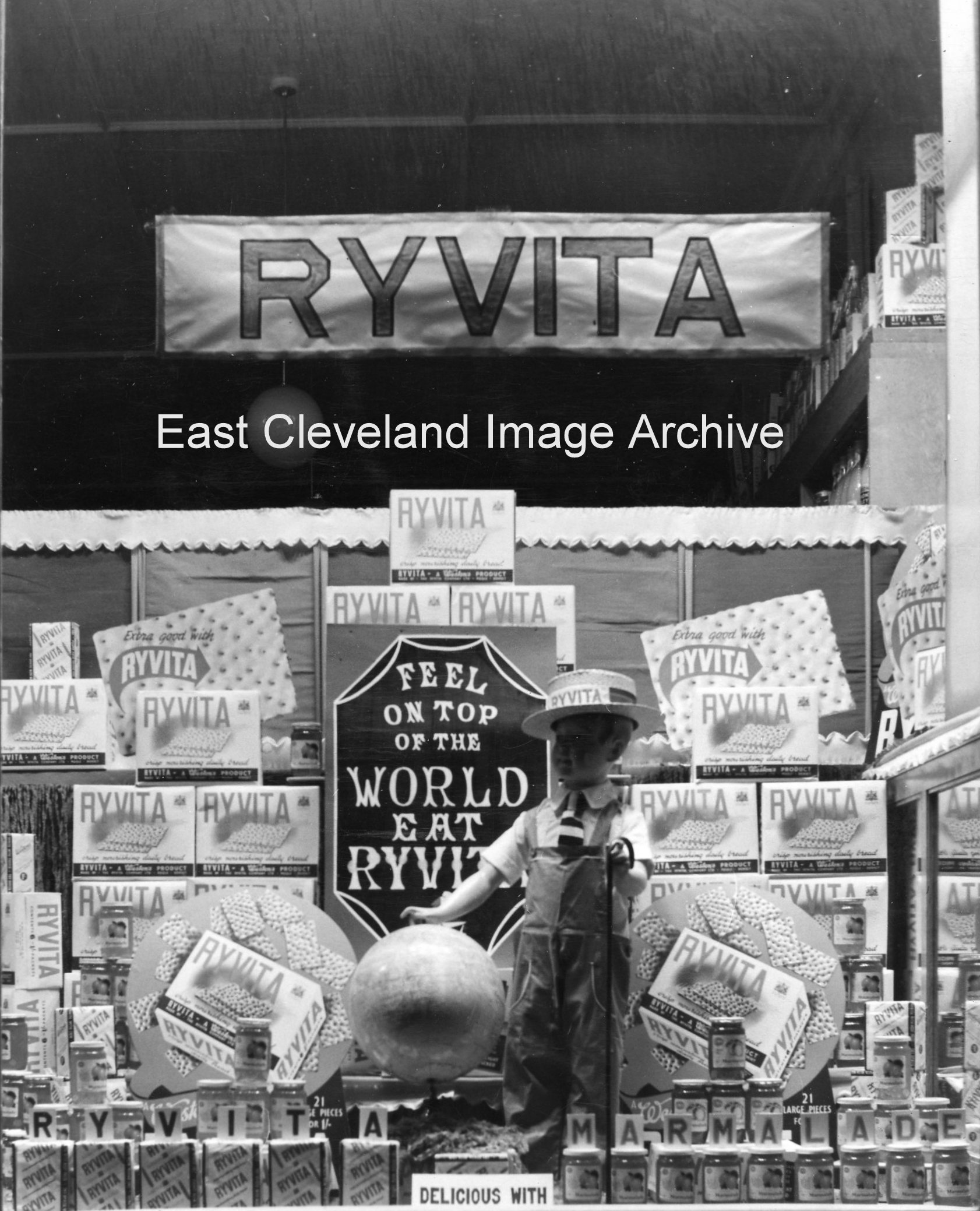 You don’t see windows dressed like this any more, they took a long time to do and you needed a steady hand. Was it the introduction of Ryvita, can you help us were you working there at this time? Image courtesy of Loftus Town Crier. 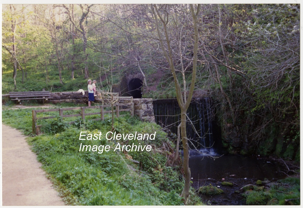 Now only a memory! The waterfall and upper pond at Loftus dam were destroyed in the floods which devastated Gaskell Gill, Loftus Mill and Bridge. Image courtesy of Eric Johnson. 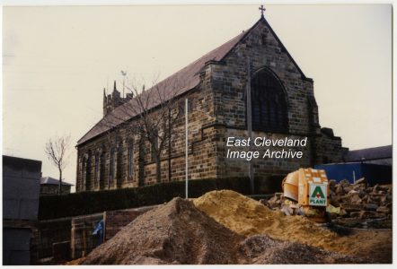 This full height aspect of the east end of St Leonards church, was only visible for a short period during the demolition of the Golden lion hotel stables and the building of Lingberry Garth; opened by Prince Charles on 30th march 1994. Image courtesy of Eric Johnson. 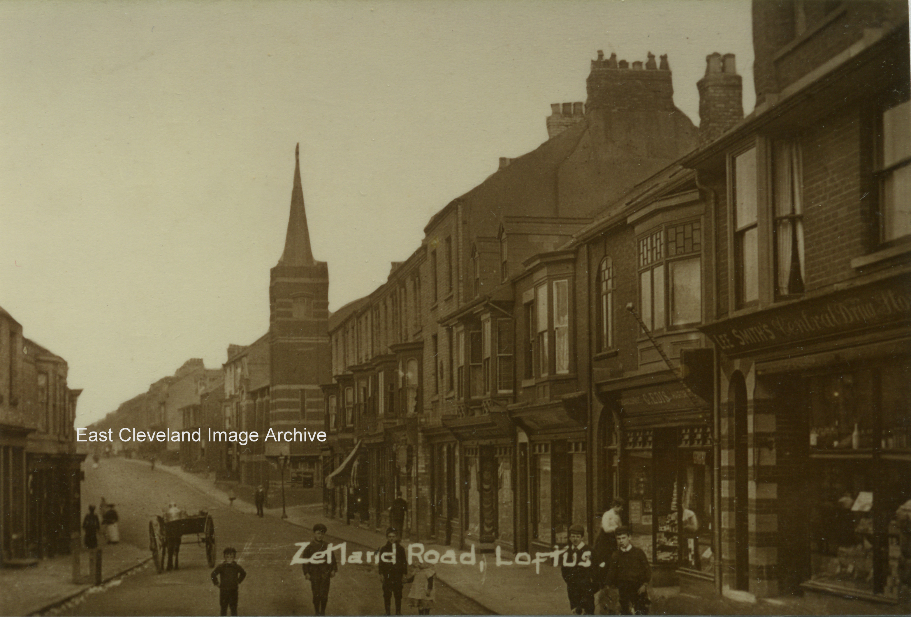 This image of Zetland Road clearly shows the ‘old’ shops (certainly surviving till the late 1950s), although this image is post 1906. The Congregational church on the corner of Westfield Terrace can be clearly seen, which is a bit hint! Obviously a quiet day, the statutory . Image courtesy of the Pem Holliday Collection. 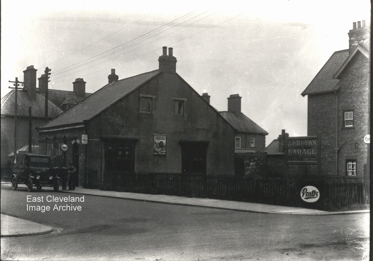 A view of the J. P. Brown’s garage on West Road, Loftus; many years later to be Charlie Stokoe’s garage, more recently trading as become Loftus Tyres. Originally the Bible Christian Chapel from the 1890’s into the 20th century. 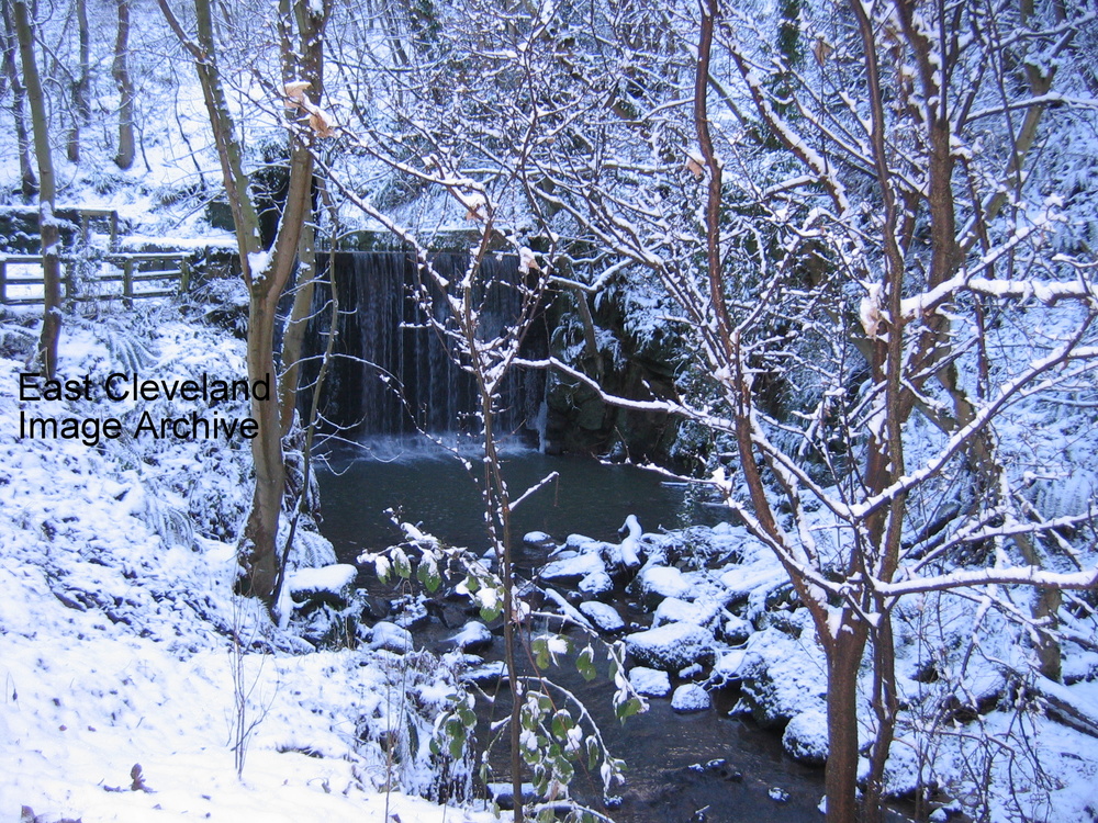 A delightful view of Loftus Dam BD (before the deluge!) in snow. Quite seasonal for this month! Richard Watson comments: “Walked through the wood post deluge (first time for 30 years) and was so shocked to see the damage caused — the photograph above is how I remember the waterfall.” Image courtesy of Eric Johnson, thanks to Richard Watson for the update. 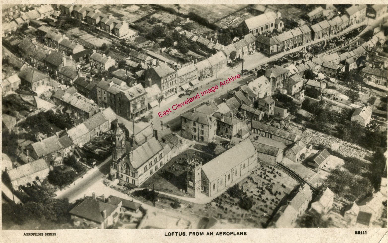 A view of Loftus in 1929. The High Street runs diagonally from the bottom left corner, through the Market Place, to the top right. The amount of detail in the picture is noteworthy; it is fascinating to compare it to Google Earth’s view of the same area. Many of the buildings still stand today. But dating this photograph which was taken after the erection of the War Memorial, but prior to the demolition of the houses on High Side behind the memorial were demolished. David Richardson tells us: ”This is one of several aerial views of Loftus produced as postcards from a flyover in 1929.” Image courtesy of Carolyn Richards and many thanks to David Richardson for the dating update. 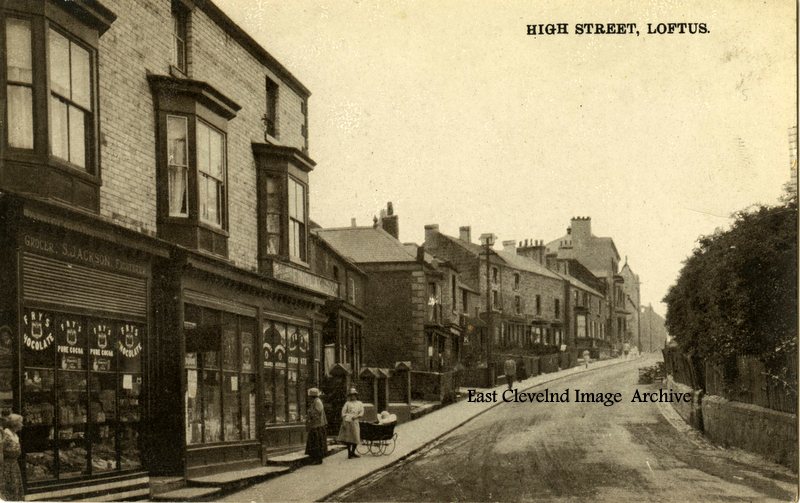 The end of Loftus High Street looking towards the Market Place, about 1920. The shops were: a small general dealers, Mr Robinson’s bike and electrical shop, then came Finlay’s sweet shop. Can we date it by the pram? The gap in the wall on the right hand side was for a horse trough that was fed by a natural spring. Eric Johnson says ”The first shop has the name S. Jackson on the sign. Kelly’s Directory of the North Riding for 1905, lists: ’Jackson, Sarah (Mrs), shopkeeper, 43 High Street Loftus”. Jean Wiggins tells us od this image: “Granny Jackson is standing outside Jackson’s grocer’s on the corner of Dam Street. The middle shop is ‘Sappy’ Watson’s barbers and the next is Finlay’s provisions.” This view of the High Street, from the end of Arlington Street, shows two ladies viewing the shop window; whilst possibly preparing to push the pram up to the Market Place. With the weight of prams in those days, a good push! Image courtesy of Mary Bielby and Olive Bennett, many thanks to Jean Wiggins for the update. . 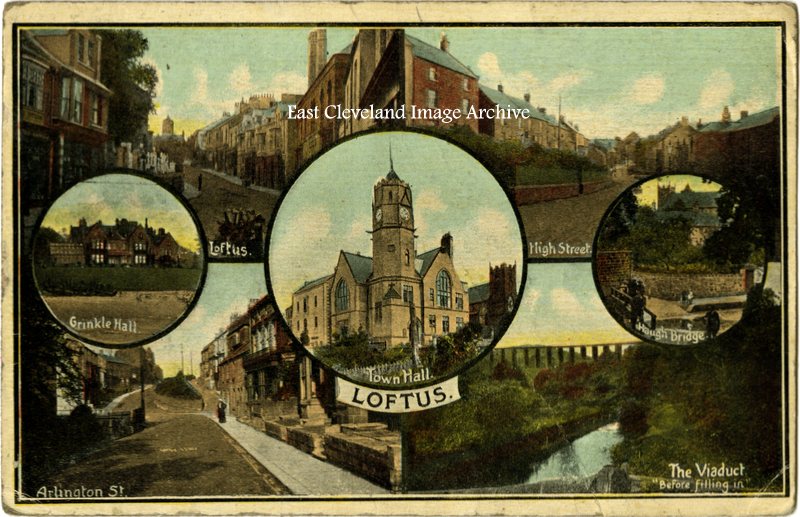 Dating from pre 1913 (viaduct has not been filled-in!) our postcard view of Loftus is hand tinted and unused. Image courtesy of Olive Bennett. |
||
Recent Comments