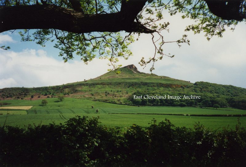
A familiar view to all who visit the area is this more modern image of Roseberry Topping; viewed from the lay-by/car parking are as one approaches Newton under Roseberry. At 1,049 feet (320 m), Roseberry Topping was traditionally thought to be the highest hill on the North York Moors however, the nearby Urra Moor is higher, at 1,490 feet (450 m). The top offers views of Captain Cook’s Monument on Easby Moor and the monument on Eston Nab. We are informed: “Until 1912 the summit resembled a sugarloaf, but a geological fault and possibly nearby alum and ironstone mining caused its collapse.”
Image courtesy of Iris Place.
I was told that Rosemary Topping, as my Peruvian wife delights in calling her, was formed by a rockfall in the not too distant past. Is this correct? Does anybody have a photo/painting of Rosemary before she fell?