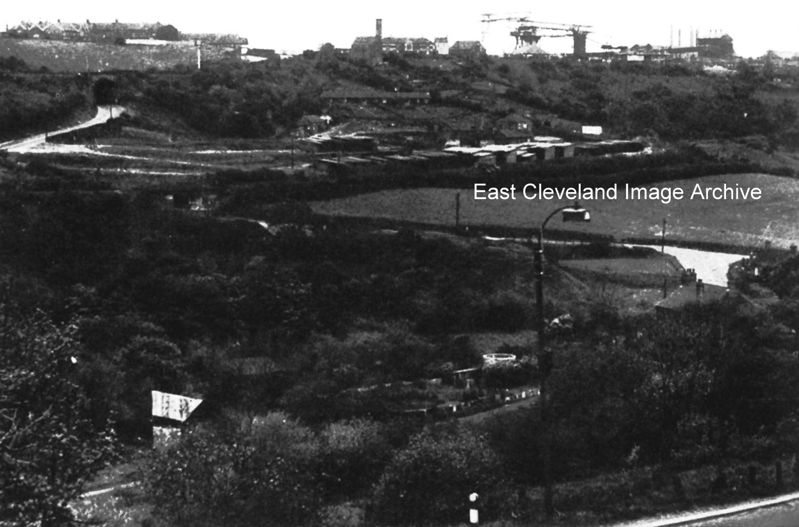
The Archive didn’t know the date of this photograph but Hurd’s woodyard took over after Duckhole pit was closed; the wood stacks being visible in this view. On top of the hill we can see where the ’buckets’ or aerial ropeway turned. Eric Johnson updated with: “Duckhole mine closed in 1946; also visible is the old road junction from Mill Bank past Kilton Mill, branching right to Skinningrove and left to Carlin How. Moving left the rail bridge over the zig zag line to Skinningrove can be made out. (I believe it was removed in 1958). Moving up the photograph, the old rail bridge from Carlin How to Loftus can be seen. On top of the bank to the left of the aerial ropeway can seen the old North Loftus mine chimney, removed in ???; the street lighting column seen on Mill Bank in the foreground is of a type used in ???. split the difference 1946/1958, guess 1952.”
Image courtesy of Mike Holliday and thanks to Eric Johnson for the update.
Recent Comments