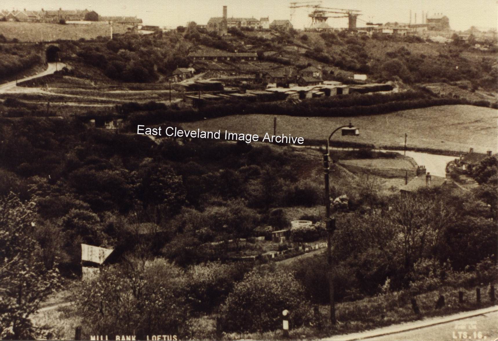
Nice photograph, taken this time from Mill Bank; Glover’s Path can be seen as can the buildings to the left centre of the image belonging to Whitecliffe mine. The old railway bridge is very clear, as are the steel works back right. Carlin How mine was known to the miners as Duck Hole owing to the wet working conditions. Simon Chapmann advises: “Duckhole closed in 1944 and in the image the headgear has been demolished. The chimney for North Loftus pit can still be seen so it is believed to be from about 1950.”
Image courtesy of several sources including Pem Holliday Collection, thanks to Simon Chapman for additional information.
Recent Comments